May 23rd Northwest Kansas Storm Chase - 3 Tornadoes Including a Nighttime Tornado Near Goodland
05-23-10 CHASE LOG: KS
After an incredible chase the day before where we witnessed the Bowdle wedge tornado and 5 other tornadoes, our tired crew left Winner, SD early this morning and targeted northwest KS in a Slight Risk for severe thunderstorms per SPC.There was an area of low pressure that was expected to develop across northeast CO with a trailing dryline through eastern CO and a stalled boundary across northeast CO into southern NE.With a stout cap, thunderstorms took until nearly early evening to initiate and then took until sunset and after to mature.We targeted storms along the triple point but, as a few storms started to develop further south along the dryline, these storms began to rotate and soon became tornado warned.Our route was to progress west from Oakley, KS on Hwy 40 and then north on Hwy 27 as storms moved nearly due north, paralleling Hwy 27 towards Goodland.Two short-lived rope tornadoes did touch down right at sunset to the southwest of Goodland to the west of Hwy 27.However, the most significant tornado touched down 9 miles NNE of Goodland.This tornado was what appeared to be a rather strong, cone tornado that was visible through the occasional lightning.This tornado appeared for around a minute and then disappeared.Our course then took us north to Hwy 36 east where we took some lightning shots near Bird City. I cannot be disappointed with this day with 3 tornadoes and a pair of nicely structured supercell storms!
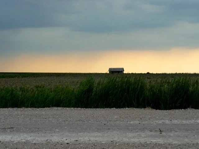
Storm first going up with abondoned shed in the foreground.
First funnel of the day!
Incredible storm structure on the LP storm near Sharon Springs, KS.
Wall cloud dragging on the ground on the tornado warned storm near Goodland, KS. Shortly after this produced two different, weak spin-ups.
Storm being lit up by lightning near Bird City, KS.
More photos from this day can be found here: http://www.flickr.com/photos/39991047@N02/sets/72157624088058263/


