APRIL 1ST MINNESOTA & IOWA: FIRST CHASE OF THE YEAR
First storm going up near Rock Rapids, IA. High based inflow band and base into low topped storm.
RFD punch on the back of the high based storm led to relative cloud-free area for a time.
Mammatus soon formed on the west side of the storm near Ellsworth, MN.
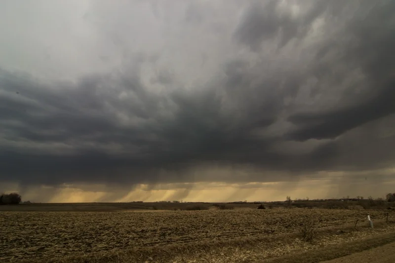
Rain shafts falling out of developing storms to the west of Fulda, MN.
Another shot of the beautiful scenery and rain shafts out of developing storms.
Lightning under shelf cloud approaching my parents house near Blooming Prairie, MN.
Another shot of the lit-up shelf cloud approaching from the west.
The lightning really helped me out with lighting up this great scene.
Edge of the shelf moving overhead as the rain starts to fall.
STORM REPORTS:
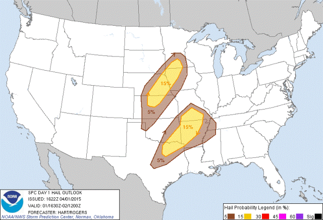
STORM PREDICTION CENTER OUTLOOKS:
As you can see below, CAPE was lacking, but a nose of instability was poking up into southwest Minnesota:
Dewpoints were also clearly lacking on this day, but severe weather would have been more common if they were to reach the 50s:
APRIL 1, 2015 CHASE LOG: MINNESOTA & IOWA
The first chase of the year tends to be a warm-up most of the time, and this was certainly the case with a marginal severe weather set-up. I knew going into this day that moisture would be lacking significantly and being a cold front situation, storms across the area were very unlikely to have any tornado potential, but I was hoping for at least a couple severe storms with decent structure to chase. Decided to head towards Worthington, MN as the cold front was approaching Sioux Falls, SD. Dewpoints were already under model guidance and only in the lower to middle 40s during the afternoon, but upper 40s dewpoints were advecting north into the area and pooled ahead of the front by the late afternoon when storms initiated. If low to mid 50s dewpoints would have made it further north, then more severe weather would have been likely.
The first strong storm initiated near Canton, SD and moved into northwest IA. I intercepted this cell near Rock Rapids, IA where it actually had some okay structure, with a high based inflow band and clear updraft with a core of 50 dbz on radar. This cell weakened shortly after my arrival but did produce some mammatus on the back side near Ellsworth, MN, just across the border. Thereafter, nothing appeared to be strengthening on any of the southern cells, so I progressed north towards Fulda, MN where some stronger, elevated storms were developing. I was hoping to be able to see at least some structure or drive into some hail, but these storms also did not pack much of a punch being in only low to mid 40s dewpoints. I bailed on the storms and progressed back to my parents where I was able to get some lightning shots as a shelf cloud moved overhead during the evening.


