MAY 15, 2017 KANSAS STORM CHASE
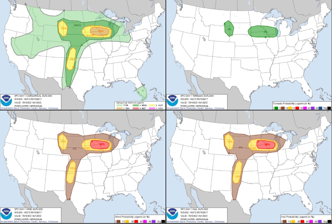
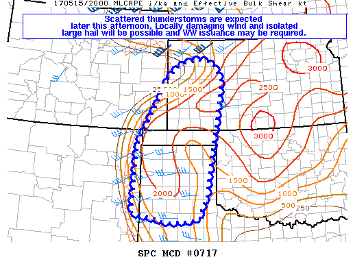
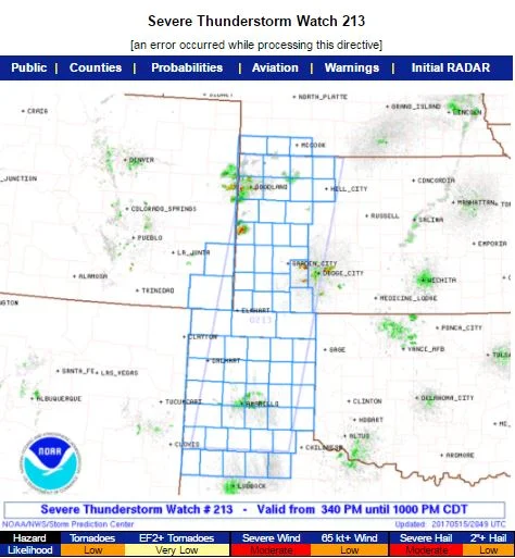
Wes Hyduke and I left Minnesota on this morning and drove to northwest Kansas where we intercepted a couple of photogenic supercell thunderstorms. This chase was primarily by chance as we were on our way to chase in the Texas Panhandle the next day. We decided to take a detour to view the storms in northwest Kansas and glad that we did.
Captured a cloud-to-ground lightning strike out of the storm as we watched from the southeast side. This photo is out of sequence with the others below.
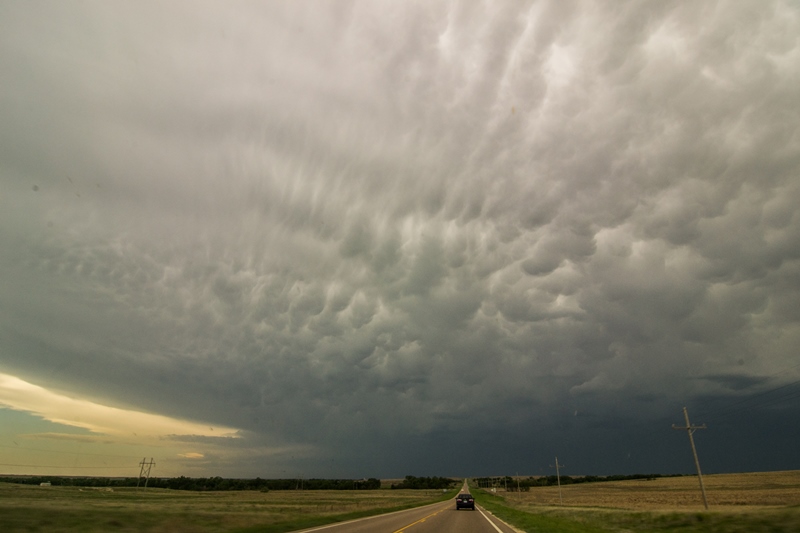
Terrific mammatus display on the storm as we approached near Hill City, Kansas.
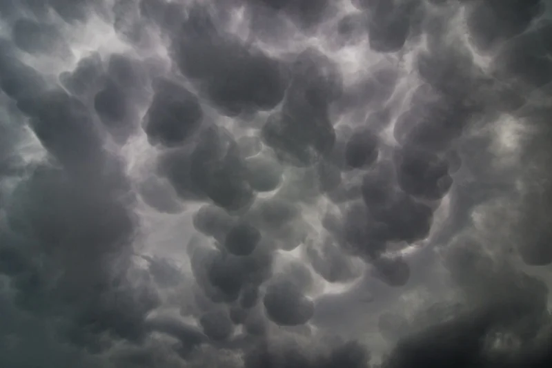
Looking directly upwards at the mammatus clouds under the anvil on the storm west of Hill City, Kansas.
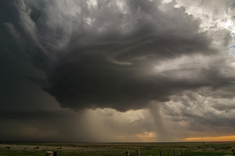
The storm started to get some decent structure near Hoxie, Kansas. I love chasing in the wide open Plains!
Looking at the storm updraft and inflow bands feeding into it near Hoxie, Kansas. Severe thunderstorm at this point.
Great structure on the storm at this point but storm starting to congeal and become more of a cluster.
A left-moving low precipitation supercell north of Garden City, Kansas at the end of the day.


