JUNE 23, 2018 COLORADO: GOOD STRUCTURED STORMS ON FINAL CHASE DAY OF TRIP
This was Day 7 and last chase day of Silver Lining Tours (http://www.silverliningtours.com/) Tour 8. After chasing some decent storms in the Oklahoma Panhandle the day before, we made our way up to eastern Colorado towards the base city of Denver. There was not a lot of expectations this day due to a low-moderate instability and dewpoints only in the upper 50's to lower 60's, but deep layer shear was around 45 knots. But the models continued to break out storms east and southeast of the Palmer Divide and also off the Raton Mesa in northeast New Mexico. Since we had to be back in Denver that night, we proceeded to chase the northern target but, again, with limited expectations. To our surprise, a few storms developed along a remnant outflow boundary from the night before and this provided the lift and focus necessary for the storms to intensify and move southeast into better air. After stopping to take photos of a really cool abandoned farm house between Limon and Hugo, Colorado, we got on the first storm just south of Hugo and chased it south to east of Punkin Center. The storm actually had some pretty good structure for a while before congealing with other storms. Nice to have a better than expected chase day to wrap up the tour!
Creepy abandoned farm house between Limon and Hugo, Colorado. The dead trees surrounding the house really give it a spooky look. Thought a guy with a chainsaw was going to come flying out of this place at any moment.
The storm getting its act together south of Hugo, Colorado.
Mammatus clouds on the developing supercell.
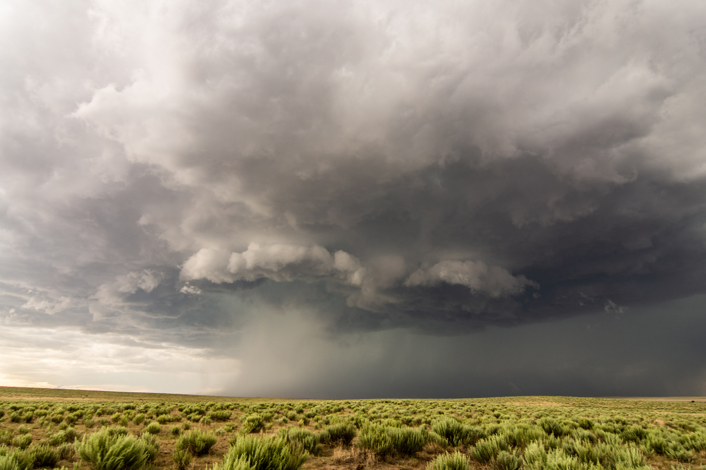
Storm starting to take on some good structure and a solid base! Storm was high based so was not really expecting much tornado potential. 2 separate cores opening up in the distance.
Some of the best structure of the day on this severe warned supercell. Intense rain foot and hail core down the road.
Storm still exhibiting some good structure east of Punkin Center, Colorado. Almost looked like a high based wall cloud trying to form here.
Another shot of the storm east of Punkin Center towards Aroya, Colorado.
Final shot of the day of the storms well defined updraft base. Storm still had really good inflow but soon lost a lot of the good structure.
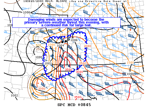
Mesoscale discussion issued at 1:36 PM MDT. Storms expected to produce large hail and damaging winds on northern end of the instability axis. Around 45 knots of bulk shear into the area, but not a lot of CAPE.
Severe thunderstorm watch issued for the area at 2:20 PM MDT.
This mesoscale discussion was issued at 5:37 PM MDT, shortly after we stopped chasing and headed to Denver. Line of severe storms with damaging winds was expected to continue southeast into the evening.


