JUNE 6, 2018 IOWA: SEVERE THUNDERSTORMS ALONG A STALLED BOUNDARY
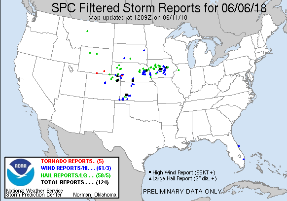
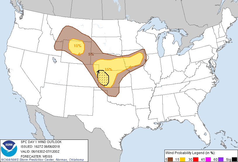
Took a few days to chase with Rich Hamel, who flew in from Boston. After a bust in North Dakota the day before, we moved south to Iowa to chase storms along a stalled, outflow enhanced boundary that had dropped to just north of I-80. There were not a lot of expectations on this day due to weak low and deep layer shear, but there was enough instability of 4,000 j/kg of MLCAPE to lead to severe thunderstorms producing damaging winds and large hail. We caught the first severe storm just south of Ames, Iowa and then moved back west towards Guthrie Center as new storms developed. Overall, the chase ended up near expectations considering the environment storms were going up in.
A old one room schoolhouse that was still in good shape near Slater, Iowa. New flanking towers of our initial storm are going up behind the schoolhouse to the west. We ended up chasing back west to these new storms.
2nd severe storm of the day near Panora, Iowa. Core moving right to left in this image and new hail core opening up in the distance.
Closer view of the new hail core opening up near Panora, Iowa.
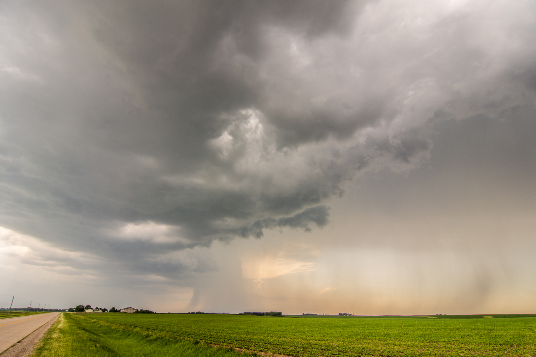
View of the updraft and vault region of our storm, about to move overhead.
Dark, high-based storm approaching us from the north with heavy rain and hail curtain.
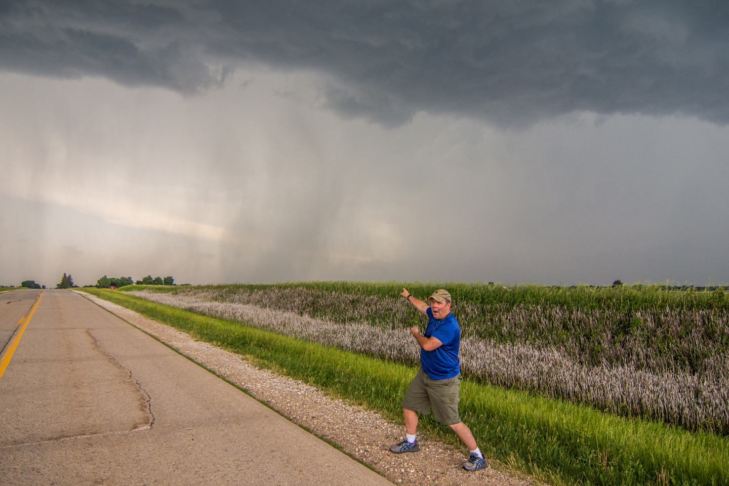
Rich Hamel in his element!
Severe thunderstorm about to overtake us. Dark, rolling shelf cloud on the leading edge of the storm.
Mesoscale Discussion issued at 2:22 PM CDT, highlighting the area that will most likely need a severe thunderstorm watch in 1-2 hours.
Severe thunderstorm watch issued at 3:20 PM CDT. Notice the High Likelihood for severe wind and hail.
Mesoscale Discussion issued at 6:20 PM CDT as severe thunderstorms are ongoing. We were on the western end of that line of storms in central Iowa at this point.
Final Mesoscale Discussion issued at 8:45 PM CDT as thunderstorms are beginning to weaken.


