MAY 20, 2024 COLORADO: HIGH PLAINS SUPERCELL
Long and stout inflow beaver tail into the storm near Akron, Colorado.
Classic eastern Colorado supercell here, although bases are lower than normal for this area. Active condensating scud underneath the base as the storm continues to ingest decent air, and will be moving into a better environment with time.
Storm loses some punch here due to a cell merger and two noticeable cores. Still plenty of good inflow going on though and a wide lowering in the rain on the right storm.
An eastern Colorado beauty.
Pretty cool shot of one of the primary inflow bands directly overhead and feeding this storm directly into the photo.
STORM REPORTS:
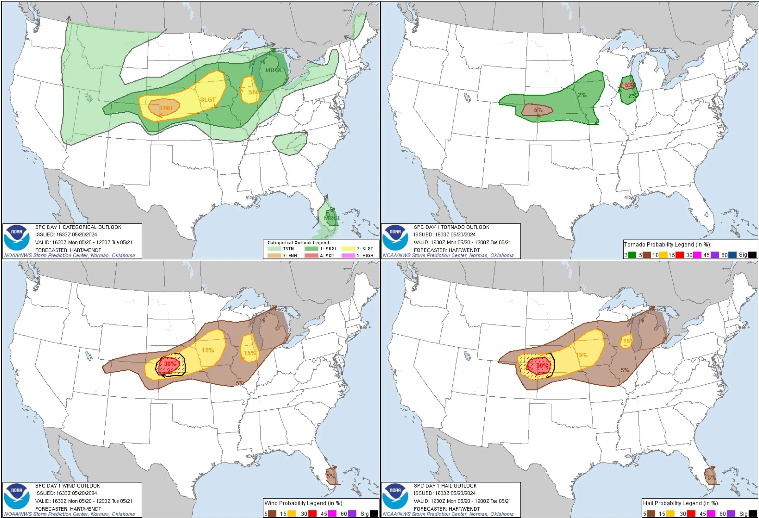
STORM PREDICTION CENTER OUTLOOKS:


