JUNE 12, 2017 WYOMING & NEBRASKA CHASE: 3 TORNADOES & BEASTLY SUPERCELL AT DUSK
I was chasing as a guide for Silver Lining Tours (http://www.silverliningtours.com/) for this one. We had high hopes that this would be the best chase of the tour as conditions were ripe for rotating supercells and tornadoes. A trough was ejecting out of the Rockies and into the northern High Plains, with more than sufficient low and deep layer wind shear. Bulk shear as in the area of 65 knots. A nose of 3,000-4,000 J/KG of MLCAPE developed into western Nebraska and eastern Wyoming, allowing for a very unstable airmass. Shear, lift, instability and moisture appeared sufficient for a tornado outbreak to occur. We ended up seeing 3 brief tornadoes on the day, only one shown below and in the video from a distance. I was driving during the other 2 tornadoes. The first supercell that we chased was from near Chugwater, Wyoming to Torrington, Wyoming. The second supercell became large, photogenic and very intense. We chased this storm from near Bayard to Alliance, Nebraska.
Storm looking even more amazing as it approached our location. Love those stack of plates! This photo is out of sequence with the others.
First storm of the day exploding on the mountains to the west of Chugwater, Wyoming. Wall cloud already developing on the left side of the core.
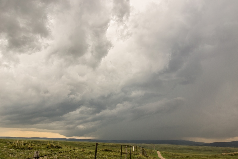
Wall cloud trying to organize to the east of Slater, Wyoming. Moderately fast inflow occurring from right to left into this base.
Another wall cloud in the foreground trying to organize. Large, low-hanging rising scud bomb in the distance being pulled into the base and around the wall cloud. This was near Rockeagle, Wyoming.
Wall cloud tightening up and spinning near Rockeagle, Wyoming, shortly after the previous image.
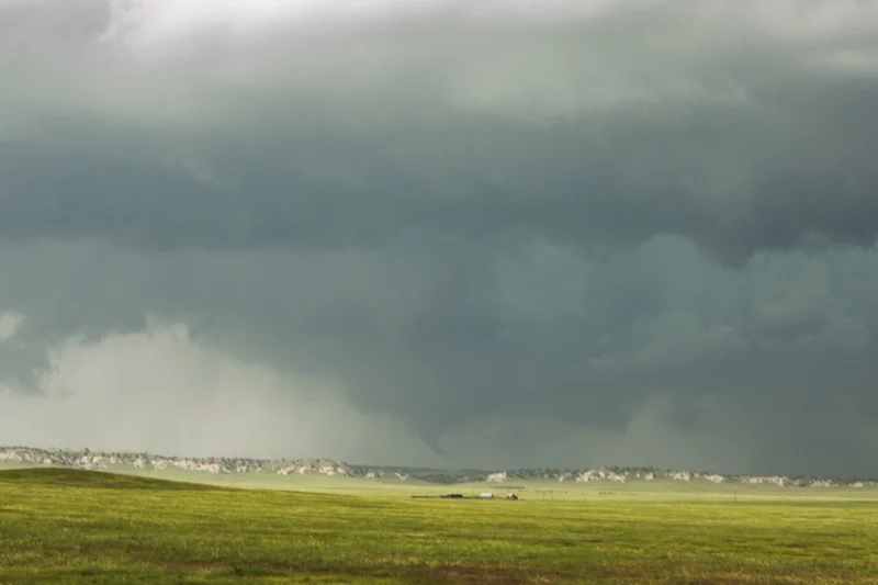
Had a bad road network here, so only could capture this tornado from a distance as we looked west from near Lingle, Wyoming.
Multiple low inflow bands pulling in rich moisture with the second supercell we chased near Bayard, Nebraska. A short time before, this the storm developed two brief tornadoes. I was driving the van at that point and not able to capture a photo.
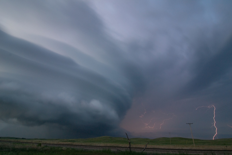
Awesome mothership structure, stacked plates, and shelf cloud on the storm as it became high precipitation (HP) near Angora, Nebraska.
Mothership about to engulf a train between Angora and Alliance, Nebraska.
Storm spitting out lightning left and right as it was about to overtake us. Had to get out of the way shortly after this as the storm had huge hail within the core.
Another shot of the lightning and mothership supercell south of Alliance, Nebraska towards sunset.
Plenty of cloud-to-ground lightning to go around! Was popping lightning all over the place and the storm was very intense at this point. Tornado warned with a considerable couplet on radar embedded in the high precipitation monster.
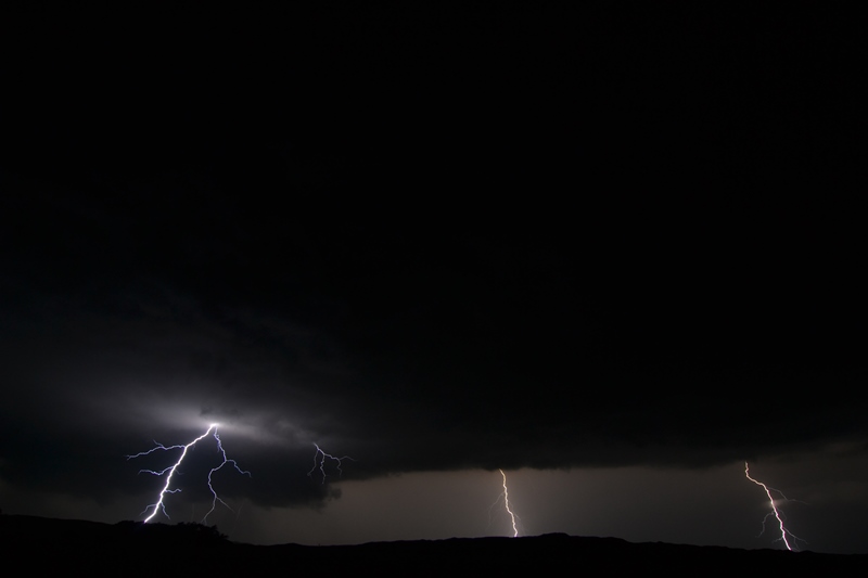
Another shot of the lightning at dark. Had to get out of the way shortly after this photo as it was a very dangerous, intense supercell.
STORM PREDICTION CENTER OUTLOOKS
Mesoscale Discussion issued at 11:29 AM MDT, already talking about issuing a tornado watch as thunderstorms develop over the next few hours.
Tornado Watch issued at 1:10 PM MDT, valid until 8:00 PM MDT.
New mesoscale discussion issued at 5:05 PM MDT for the area with greatest risk for strong tornadoes and all severe weather hazards.
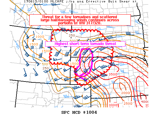
Mesoscale discussion issued at 8:02 PM MDT as dangerous supercell thunderstorms continued to move northeast through Nebraska, western South Dakota and northeast Wyoming.
STORM REPORTS


