JUNE 13, 2017 SOUTH DAKOTA: SUPERCELLS & GUSTNADOES
This was the third day of chasing as a guide for Silver Lining Tours (http://www.silverliningtours.com/). The day before, we caught 3 brief tornadoes and a beast of a storm in Wyoming and Nebraska. We got ahead of this same system near the South Dakota/Nebraska border area on this day. The thought was storms would form off the cold front/dryline and be rotating supercells with a decent chance to produce a tornado, although temperature/dewpoints spreads were fairly large. A second target existed on the warm front across northeast South Dakota into west-central Minnesota but we thought the storms here would be too messy and congeal too quickly to stray from our closer target. There did end up being a nice tornado in that second target area across west-central Minnesota. We managed to catch a few severe and tornado warned supercells, as well as several gustnadoes on our storms. There were a few tornado reports from the storms we were on, but we could not confirm that these were tornadoes over gustnadoes.
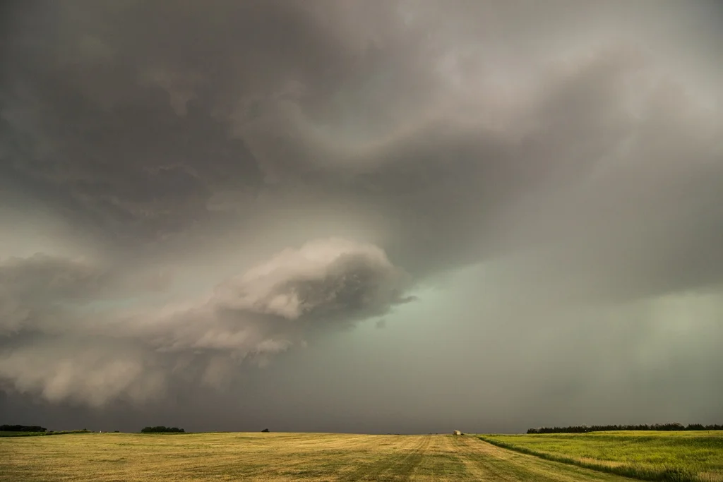
First arriving on the supercell with a wall cloud near Bonesteel, South Dakota. Storm had some decent structure at this point.
Looking at the northern side of the base and updraft with the core of the storm on the right and wall cloud on the left.
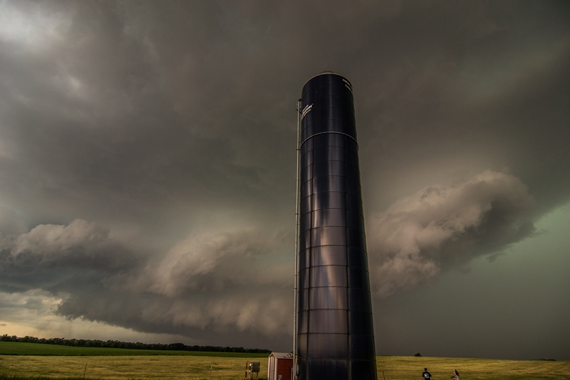
Cool shot of the approaching storm and a grain silo in the foreground.
Looking west towards the approaching supercell near Pickstown, South Dakota. This is the spot where I shot the time-lapse video above.
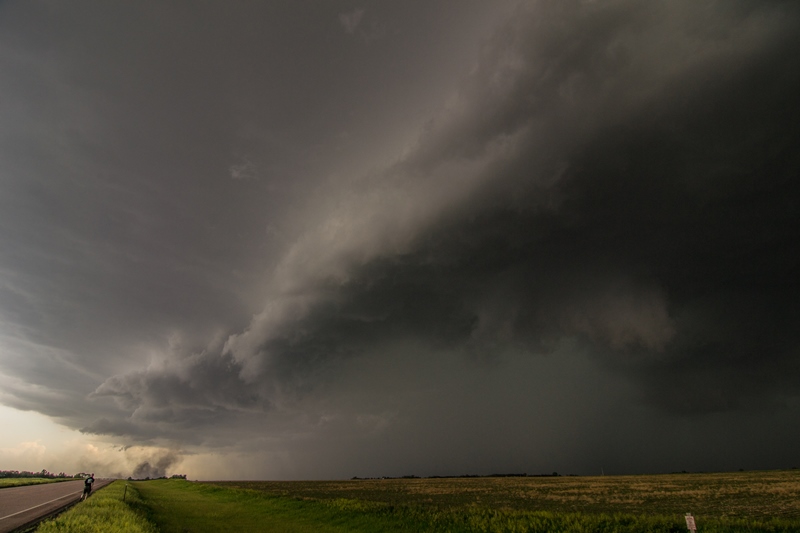
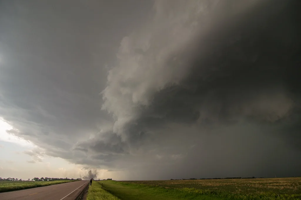
Gustnado occurring down the road from our location on the bottom right of the image. Storm core coming in from right to left along with the shelf cloud.
Another shot of the storm and gustnado that is was producing near Wagner, South Dakota. This was called in as a tornado by multiple sources but appeared to be a gustnado to me due to outflow of the storm and no condensation funnel above.
Looking at a tornado warned storm to the west, while the tour group enjoys the spectacle.
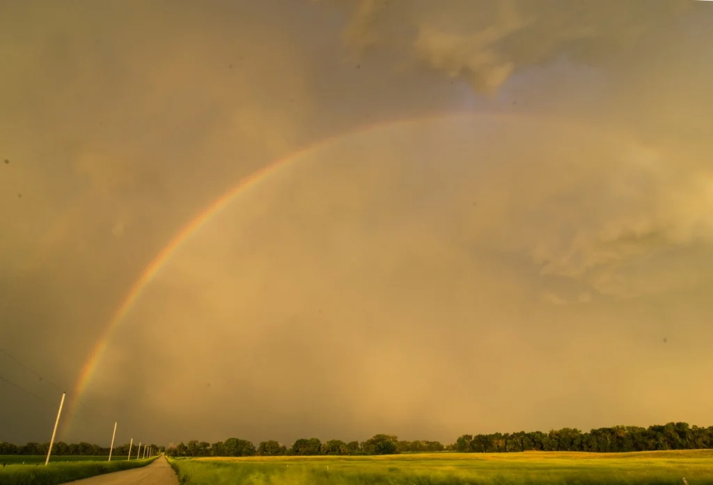
Rainbow on the backside of a different storm as we were getting close to sunset. A few of the guests caught lightning and this rainbow in their shots.
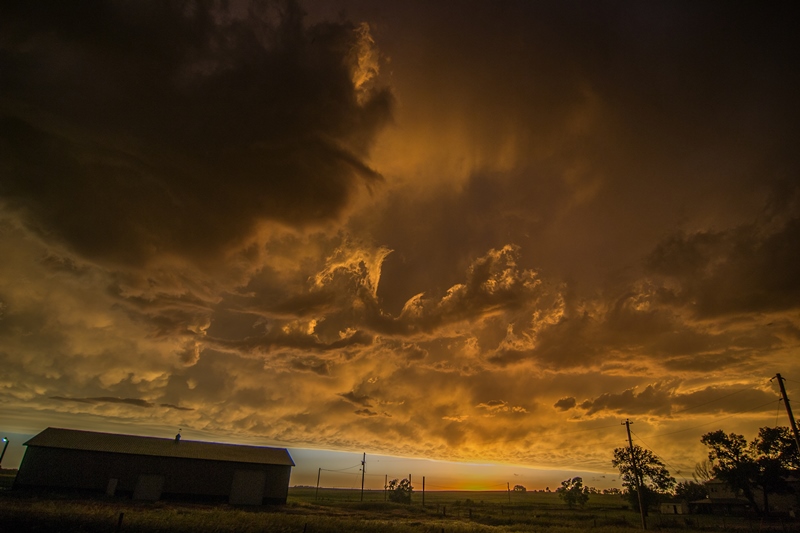
At sunset on the back of the storm, looking southwest. Cool looking sky with good color, mammatus clouds and the shot of an anvil from another storm in the distance.
Terrific looking sky at sunset looking west in northeast Nebraska.
STORM PREDICTION CENTER OUTLOOKS
Mesoscale Discussion issued by SPC at 2:32 PM CDT, highlighting the threat for storms to develop by 21Z with primary threats being wind damage and hail, along with some tornado threat.
Tornado Watch issued at 3:15 PM CDT for the area, valid until 10:00 PM CDT.
Another Mesoscale Discussion issued at 3:46 PM CDT from eastern Nebraska into southeast South Dakota and northwest Iowa. Additional storms expected to form ahead of the initial storms that we were chasing along the South Dakota/Nebraska border.
A Mesoscale Discussion issued at 5:43 PM CDT as intense storms were maturing and new storms started to fire on the warm front and ahead of the low on the triple point.
Mesoscale Discussion issued at 8:34 PM CDT for the storms that were congealing and becoming less discrete across the eastern Dakotas into eastern Nebraska and western Minnesota.


