March 22nd Southwest Iowa Storm Chase - Defiance Tornado
First storm of the day going up as we are looking to the southwest of Nebraska City, NE.
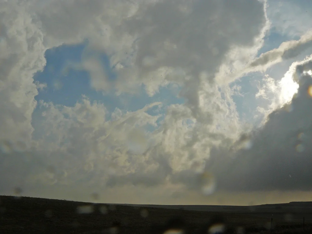
Mammatus forming as the anvil moves overhead.
A terrific omen as we were traveling north on Highway 57 to intercept a tornado warned storm.
Tornado only a few miles to the northeast of Defiance, IA!
Another view of the tornado as the hail was really starting to fall.
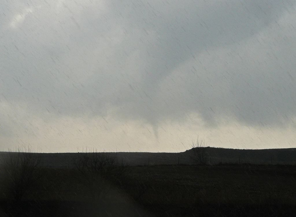
Tornado snaking around as it is starting to rope out.
View of the entire portion of the tornado roping out. Notice the tornado condensation funnel detached in spots but still discernible from top right to bottom left.
Top portion of the tornado coming out of the back of the storm. Starting to become detached from the lower portion.
Video grab of the tornado from cloud to near ground as it is roping out.
Ragged wall cloud on the storm north of the warm front near Manila, IA.
Extremely low clouds to the north of the warm front and wind turbines hidden from view in spots.
Radar image near time of the tornado. The white circle outlines the storm.
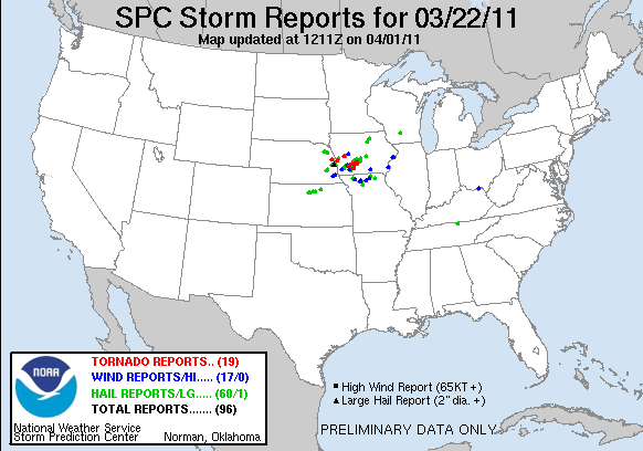
Storm Reports:

03-22-11 CHASE LOG: IOWA This log describes the details of my first March tornado! Our chase team included Beau, Donya, and Ephram Gjerdingen, Mike Nardozzi and me. We began the day driving south on I-35 at 8am, heading for a target area of west-central IA. With a strong, spring system already impacting the region, we were forced to drive through rather treacherous conditions on our way down as accumulation of hail and sleet occurred during the morning hours from Faribault to Owatonna, MN. Several cars and a semi were seen in the ditch as a result. Upon clearing the wintry weather, our course took us to I-90 west and then south on Highway 60/75 to Sioux City, IA. Thereafter, our plan was to take I-29 south to near Council Bluffs, IA to re-evaluate.
The set-up was as follows: A deepening area of low pressure was parked over northeast NE through the day as a warm front stalled out to the southeast and then into IA along the I-80 corridor. To the north of this front, low clouds, drizzle, and gusty easterly winds limited temperatures to the 40’s and 50’s, while instability built south of the front as temperatures soared into the 70’s and even low 80’s, with dewpoints rising into the mid and upper 50’s. There were even a few low 60 dewpoints that I noticed were pooling across southwest IA by mid afternoon, terrific for this time of year. Further west, a strong cold front and pre-frontal dryline were surging east through NE as an upper level vort max ejected out of southwest CO and was noticeable on water vapor heading towards the target area. An upper level trough was forecast to go strongly negative tilt through the day, which helped to significantly increase the synoptic lift. This could be seen by the moistening of the mid levels as seen on water vapor imagery. With the strong heating, SB Cape values of 500-1000 J/KG were nosing up into southeast NE and southwest IA, more than enough instability with how much wind shear was forecast in the warm sector and along the stationary front.
As we approached Council Bluffs, the Storm Prediction Center (SPC) issued a Mesoscale Discussion (MD) at 1:19pm. A storm soon began to develop near Concordia, Kansas at 1:30pm. We decided to head further south and position ourselves near Nebraska City, NE to watch this storm come at us. Storm motion was at 35-45 mph with a few storms even faster, so the trick was to attempt to stay ahead of the storms as much as possible. The storm approached us and entered southwest IA with a noticeable lowering as it passed over the river at 4:15pm, as other storms filled in further north along the dryline/cold front. We followed east on Hwy 2 and the zigzagged to go north on Hwy 59. The storm was starting to become more HP and was difficult to keep up with, so we were forced to get behind it and travel north to I-80. At this point, the decision was made to not attempt to stay ahead of that storm, which later produced a tornado near Creston, but to continue heading north and intercept a supercell that was already tornado warned and moving northeast of Omaha, NE. This was also the time that SPC issued another MD for the area outlying the greatest tornado potential. The storm appeared to be right on the triple point at this time and interacting with the stationary front. We intercepted the storm near Defiance, IA and witnessed an incredible anti-cyclonic tornado out the back of the storm and roping out all the way to the ground as we were on 2400th St looking southeast. This was an incredible scene and the tornado appeared to linger along the ground in an open field, even after the entire middle portion of the tornado appeared to die off and become disconnected. Thereafter, we followed the storm northeast of the area but it was clear that the cell had now moved well north of the boundary into the cooler, more stable air, and was not going to produce further tornadoes.


