May 10th Central Minnesota Storm Chase - Strong Supercells With Hail
Inflow tail on the left and twisting updraft on storm to the west of Holdingford, MN.
Storm #1 on the right near Holdingford, MN and another intense supercell developing on the left near St. Cloud, MN.
Intense supercell forming an anvil to the southwest of St. Cloud, MN.
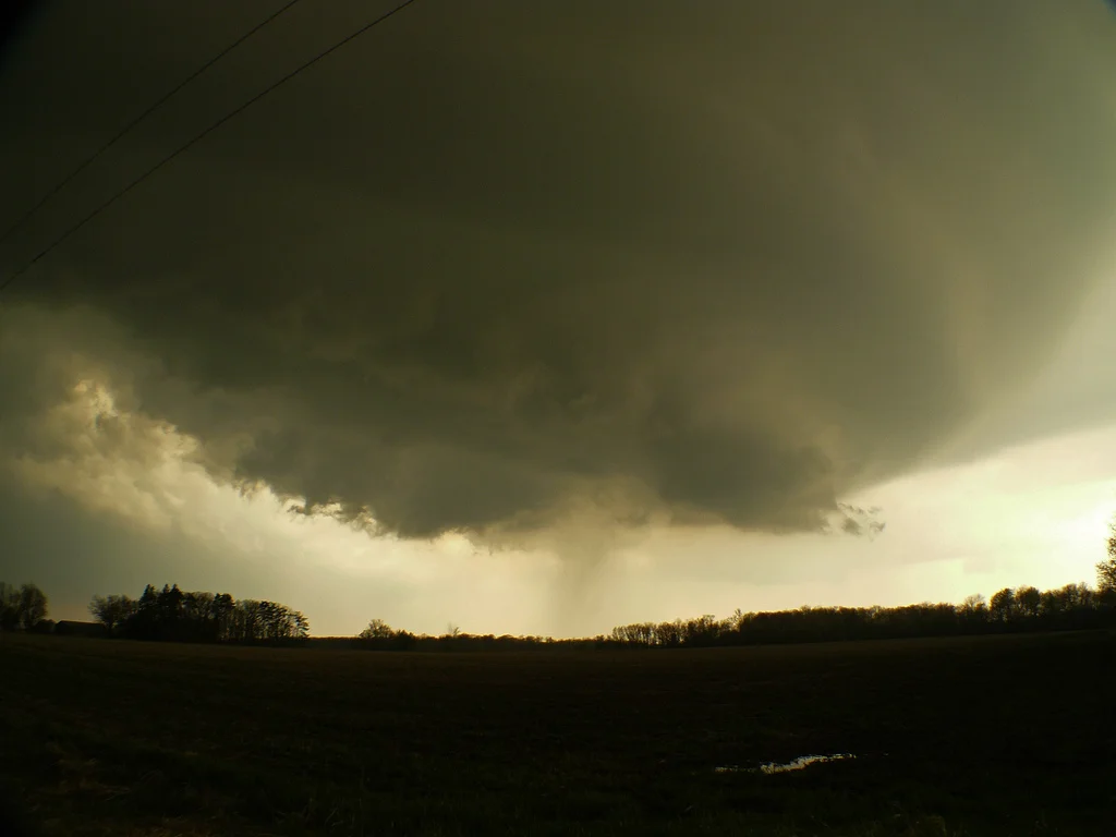
Large mesocyclone and clear slot on storm east of Foley, MN.
Mesocyclone really starting to wrap up at this point. Notice the striations.
Another shot of the meso and turbulence in the bowl.
Starting to get underneath the mesocylcone and edge of the action area.
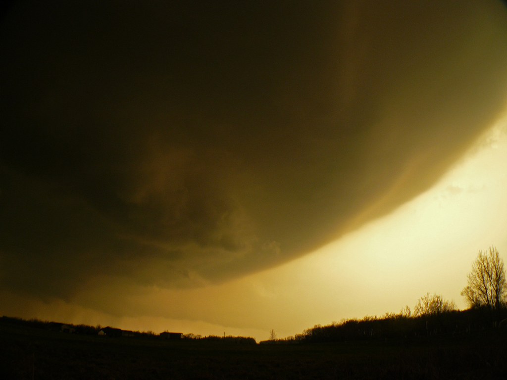
Nice color as the sun was setting behind the cell and the base was starting to move overhead.
Larger view of the base. Tough to see, but notice the inflow tail into the storm that is in the distance and slight lowering on the left side of the picture.
Possible funnel on now tornado warned storm north of Princeton, MN after dark.
More photos from this day can be found here: http://www.flickr.com/photos/39991047@N02/sets/72157626701212780/
Radar near most intense time of supercell (circled in red):
MPX 00Z May 11th Observed Sounding:
Storm Reports:
05-10-11 STORM CHASE: MINNESOTA Going into the day, the main concerns were the capping and if a shortwave would arrive in time for thunderstorms to be able to break this cap, as well as weak mid and upper level winds (even rather weak inflow winds to some degree). An upper trough and low was well to the west of the area, centered across the western Dakotas while a large ridge was building into the Midwest and Great Lakes region. Instability was not an issue with MLCAPE values in the 3000-5000 j/kg range nosing into central MN and SBCAPE values of near 6000 j/kg in spots, as noted by the 00Z MPX observed sounding. Extreme instability was present with dewpoints well into the 60’s and lower 70’s along and south of a warm front that was draped along the I-94 corridor and an impressive dryline/trough that was advancing through western MN.
Our course of action was to initially target the area between Little Falls and Staples, MN. We left around midday and went up I-94 to St. Cloud where we waited for things to evolve. Shortly before 5pm, a few showers and storms began to develop in the vicinity of Alexandria. As we went up I-94 towards the area, storms really were having a difficult time getting going and thinking was that they were elevated above the cap and could not become surface based for the first 2-3 hours after initiation. We stopped near Sauk Centre and re-evaluated, whether to continue north to a cell nearing Long Prairie, or head south towards another cell. We decided to head north towards the cell near Long Prairie, but this cell was not looking as good so we bailed towards the cell moving up from the south. Upon reaching Holdingford, the cell that we were on was not making much progress, although it did have a nice inflow tail and twisting, albeit skinny, updraft. Yet another cell was developing to our southeast near St Cloud which was starting to get its act together a little more, right around the time a tornado watch was issued for the area. We chose to again bail on the cell we were on and travel down Highway 10 towards the cell moving to the Sauk Rapids area. We got on the cell shortly after it had produced tennis ball size hail in this area, but ended up following the storm east as it slowly moved towards Foley. The good thing about this day is that, with the weaker steering flow aloft, storms were easy to keep up with. Between Foley and Princeton, MN is when the storm looked the best. We stayed on Highway 4 and followed near the base as a large mesocyclone developed with off and on periods of rising motion. This cell was clearly attempting to make at least a wall cloud and we even had some rapid condensation taking place very close to us at one point, which indicated a possible funnel developing (as seen in the video). It became too dark to see much of anything between the lightning flashes near Princeton but this was just as the storm became tornado warned. We followed near the hook signature on radar for a little while longer and noticed a lowering between the flashes off to the east of the intersection of Highway 169 and Highway 4.
The extreme instability, but with weak vertical wind shear, likely led to supercells that contained a lot of large hail (due to the potent updrafts); with only 1 tornado reported near St. Michael, MN. This tornado appeared to be an effect from the storm staying rooted on the boundary at the exact right time during the storms maturation and right at the dryline and warm front intersection.


