JULY 26TH 2011 SOUTH DAKOTA STORM CHASE - PAIR OF SUPERCELLS & INTENSE LIGHTNING
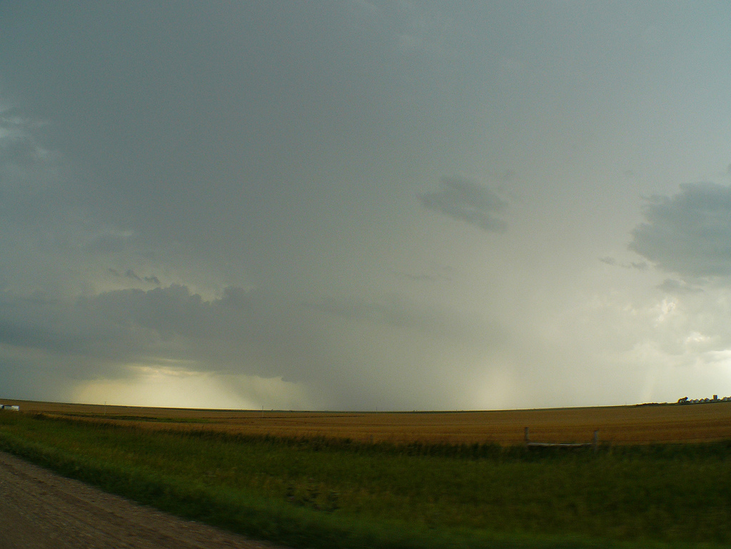
First severe t-storm warned cell of the day near Gettysburg, SD. Hail/rain core in the middle and lowering starting to form to the left of the core.
Base starting to become lower and try to form a wall cloud on the supercell near Seneca, SD.
Ragged base of storm during a cell merger. Appeared to be trying to wrap up after this but never could get its act together.
Heading northwest near Seneca, SD towards a beautifully structured, tornado warned supercell
Tornado warned storm starting to develop a shelf cloud as the outflow boundary gusts out ahead.
Awesome looking shelf cloud and turbulent underbelly west of Aberdeen, SD.
Another view of the shelf cloud as some impressive "sharks teeth" form on the leading edge. Lots of rotation right on the leading edge of this shelf cloud as it approached Aberdeen!
Incredible lit up base as the sun was setting to our back. This was shortly after the storm had produced a funnel near Groton, SD.
More photos from the day can be found here: http://www.flickr.com/photos/39991047@N02/sets/72157627305833176/
Storm Reports:
07-26-11 CHASE LOG: SOUTH DAKOTA Really was not sure if I was going to be chasing this day as I had worked the overnight shift the night before and did not have a chase partner, so this ended up being a spur of the moment chase. However, I convinced my wife, MaryLynn to take off work by later in the morning and we left Burnsville around 10:30am, targeting central SD near Selby. SPC had issued a 10% hatched tornado risk for portions of the central and eastern Dakotas within a Slight Risk for severe weather. An upper trough was giving a glancing blow to the area from the north, while decent upper level support was in place, along with impressive summer-time low level and bulk shear, along with moderate instability forecast to be 2-3k J/KG of SB Cape. I was particularly impressed with the forecast triple point and warm front to the east that storms were supposed to be moving along with the forecast storm motion, while a dryline moved south of the low. Forecast hodographs and soundings looking pretty good leading up to this day.
We traveled west on Hwy 12 through SD and all the way to Ipswich where we had to go south on Hwy 45 and west on Hwy 20 due to the road being closed near Roscoe as water had washed out the roadway around a week before. This was a re-occurring problem that we noticed through the day with damaged roads and some that were impassable due to water over the roadway. There is incredible flooding across central and eastern SD this year. We gassed up in Hoven (which later had a brief tornado occur near town), and traveled south to near Gettysburg, SD where we watched a developing supercell just to the south of the triple point. This cell did look good for a while and had a couple of cell mergers with weak, ragged wall clouds wrapping up and condensing after both mergers. But this cell could never really get its act together and weakened. We were near Faulkton when I decided to bail on this cell and travel northeast towards the cell near Hoven. Not more than 5 minutes into our drive towards this cell did it become tornado warned and then produced a tornado a short time later near Hoven. We approached from the south and thought we could see a funnel as we looked northwest near the Cty Rd 3 and Hwy 20 intersection. We followed to the east and up to Ipswich again and watched a beautiful shelf cloud on the leading edge as the storm approached Aberdeen, SD. There was a ton of rotation on the leading edge with this shelf and it became very picturesque. Upon reaching Aberdeen, we went to the northeast of town and got caught on a road that was impassable due to water. We turned around and got south in time to see a funnel near Groton, but never got any footage of it due to going in and of cornfields as we drove south. Thereafter, I got took some lightning video near Bristol and then traveled home through MN in a deluge of heavy thunderstorms.
I really thought there would be more tornadoes on this day, and this could have been due to a number of factors such as too much forcing in this time of year with impressive CAPE nearly each day, storms traveling more east-southeast into the warm sector and not directly interacting with the warm front (although one of these did and produced a tornado in northeast SD), or the fact that the surface winds actually seemed to die off some after initiation for some reason. Even though we did not see a tornado, I cannot complain too much as it ended up being an enjoyable chase day!


