APRIL 16, 2024 IOWA: A TORNADOFEST! 5 TOTAL FROM ONE STORM
After observing the Rockwell City tornado from a distance, another tornado began to develop shortly thereafter on the same storm near Manson, Iowa. The funnel cloud is visibly condensing as it descends towards the ground in this shot.
Rope tornado making ground contact now near Manson, Iowa! This tornado did not receive a strength rating.
Tornado getting real close now! Roping out and coming right at us as you can also clearly see in the video.
Third tornado about to touch down near Palmer, Iowa. Love the structure here with the big C shape to the storm with the inflow and the clear skies with the RFD cut on the west side of the developing tornado.
Tornado hitting a barn here and throwing out debris. This was rated an EF-0 weak tornado.
Wide view of the whole low-topped storm and funnel cloud still hanging on.
Funnel cloud reaching, stretching, and condensing towards the ground over a wind farm.
Shot of the storm structure and long, snaky funnel cloud.
Fourth tornado of the day northeast of Palmer, Iowa!
Zoomed in shot of the rope tornado dancing away over an open field. This was rated an EF-0.
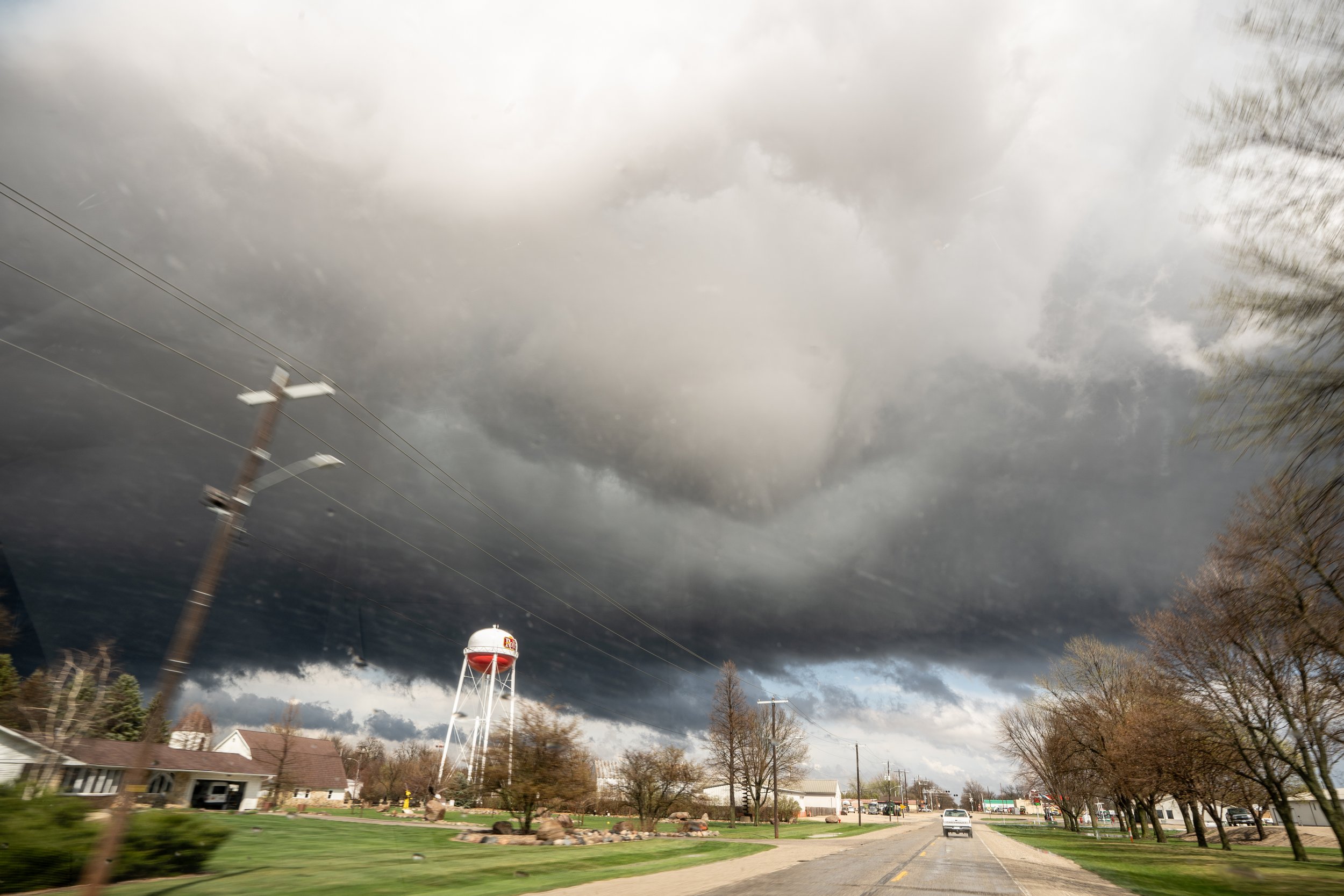
Fifth and final tornado of the day just south of Rolfe, Iowa. This tornado did eventually move over the east side of Rolfe and produce EF-0 damage.
Scary moment as the fifth tornado was moving over Rolfe and still down on the east side of town as we were driving through. We had debris raining down on us as we drove through town. Thankfully it did not produce substantial damage!


