APRIL 26, 2024 NEBRASKA & IOWA: TORNADO OUTBREAK - 5 TORNADOES
First tornado of the day touching down at 2:49pm on the northeast side of Lincoln, Nebraska. We went north to get ahead of the main action area and were looking south-southeast towards Lincoln here.
Tornado intensifying to a strong stovepipe immediately after forming!
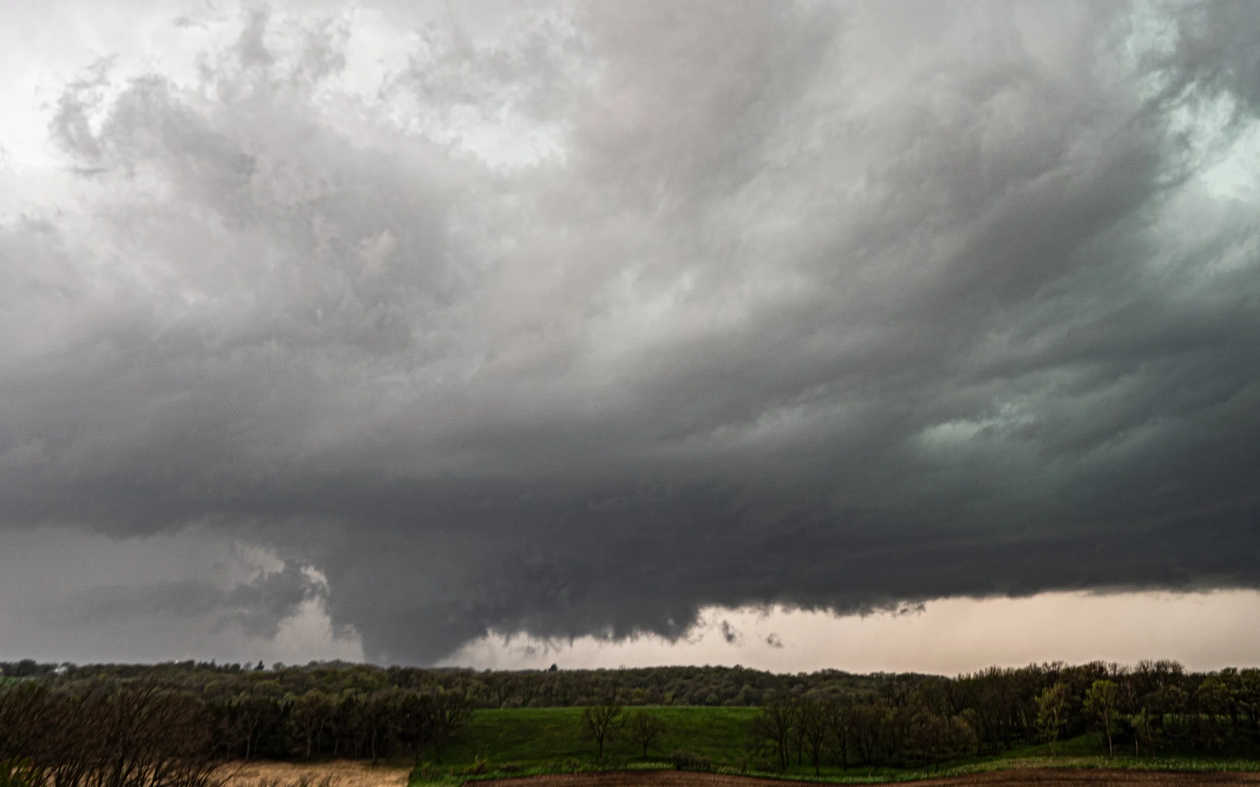
The whole mesocyclone and storm structure with beautiful tornado ongoing.
ABSOLUTELY INCREDIBLE!!
This tornado was rated EF-3 with estimated peak winds of 158 mph, path length of 8.6 miles, and max width of 700 yards.
Tornado now starting to move to our east about 10 miles to the north-northeast of Lincoln, Nebraska.
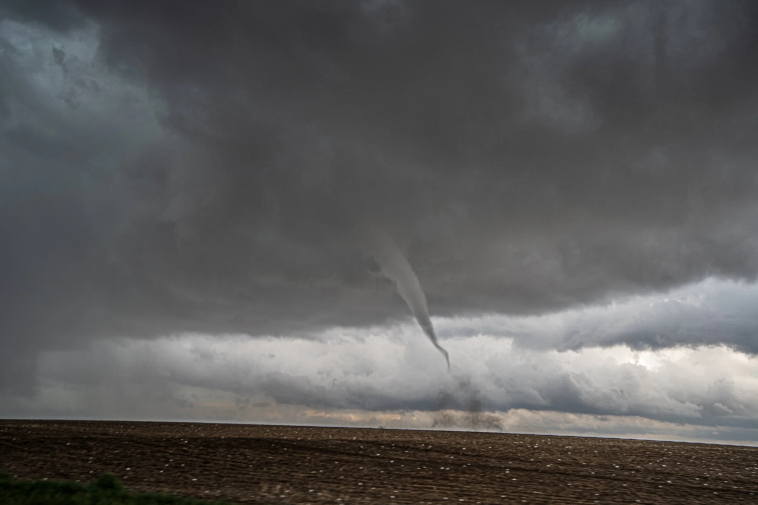
Second tornado near Davey, Nebraska at 3:04pm. This was taken at the same time the first tornado was still roping out and dissipating to our southeast in the previous picture. Notice the big hail in the field! This tornado was rated EF-1.
Cell phone shot as we drove up close to the second tornado as it crossed right in front of us.
Egg size hail.
Third tornado touching down to our southeast near Ceresco, Nebraska at 3:13pm!
This tornado was rated EF-0.
More big hail.
Big time lowering and some good structure on this storm as a new tornado was touching down over the east side of Omaha Eppley Airfield.
Fourth tornado officially down from our vantage point on the Iowa/Nebraska border and heading northeast at 5:04pm.
This tornado was rated EF-3 with peak winds of 152 mph, path length of 16.1 miles, and max width of 516 yards.
We got ahead of the tornado as the circulation continued and became a multiple vortex near I-880 to the northeast of Honey Creek, Iowa.
Getting a little nervous here as the circulation approaches and decided to bail north after this photo was taken.
Rotating wall cloud still holding on strong near Beebeetown, Iowa. I wish we would have left this storm earlier as we would have gotten a better view of the EF-3 Minden tornado to the east, but we still managed to catch it (see photos below).
Coming at the Minden, Iowa tornado from the west on I-80 as it was a wedge crossing the interstate at 5:47pm. This tornado was rated EF-3 with peak winds of 160 mph, a massive path length of 40.9 miles, and a max width of 1900 yards.
Minden tornado morphed into a strong stovepipe soon after the wedge crossed I-80.
STORM REPORTS:
STORM PREDICTION CENTER OUTLOOKS:


