JULY 1, 2019 MINNESOTA: LONG-LIVED TORNADO WARNED STORM AND SEVERAL FUNNELS

DSC_2331.jpg

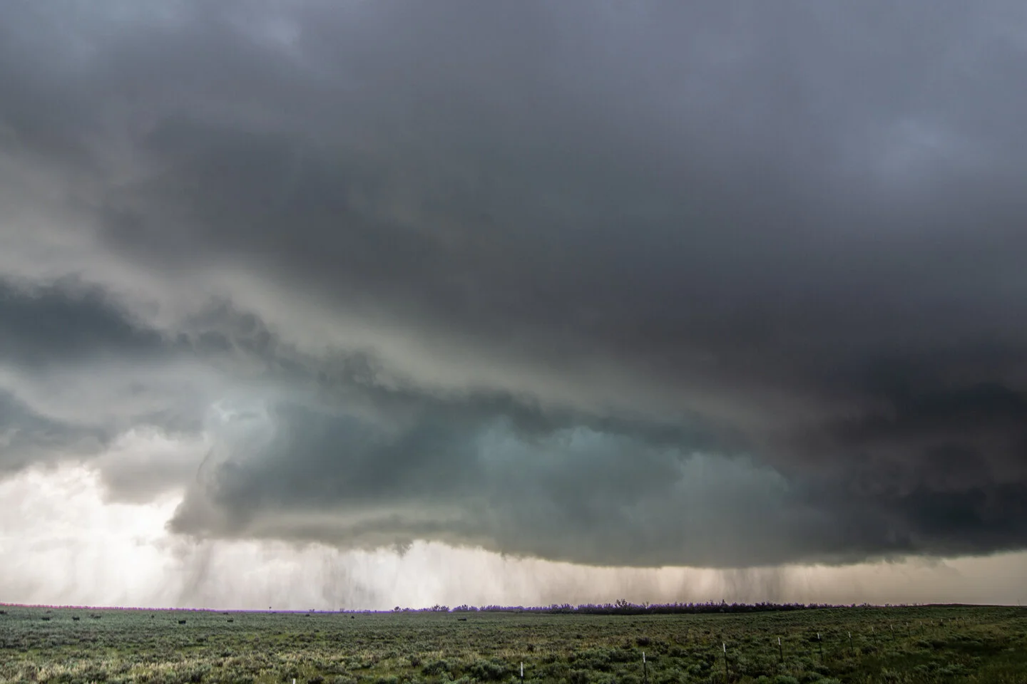
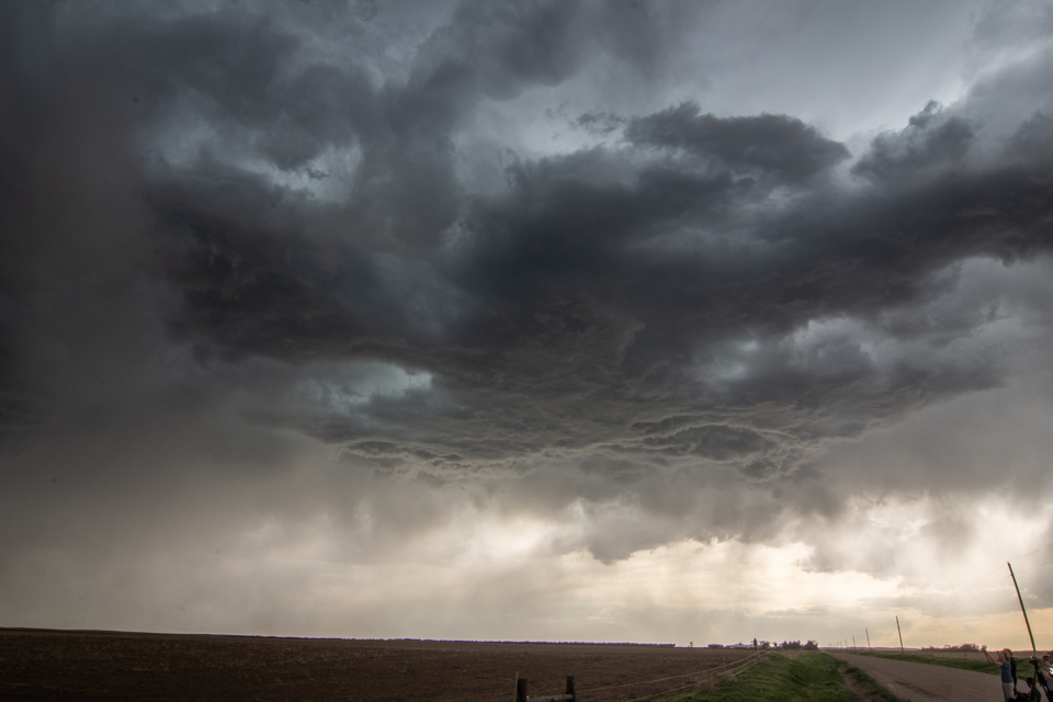
Beautiful tornado warned storm near Clarks Grove, Minnesota. Well defined inflow (beaver) tail into the storm at the base of the updraft.

DSC_2345.jpg

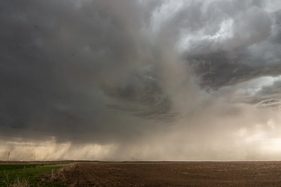
Wall cloud better defined on the storm just east of Clarks Grove, Minnesota. Lots of rotation and rising motion into the wall cloud at this point. I thought it was going to produce a tornado right in front of us.

DSC_2352.jpg

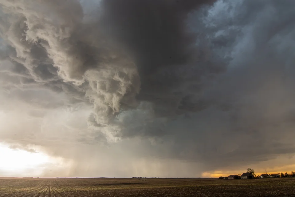
Another shot of the merry-go-round portion of the wall cloud and solid inflow as noted by the tail on the right. If you watch the video, you can really see the strong rotation.

DSC_2354.jpg

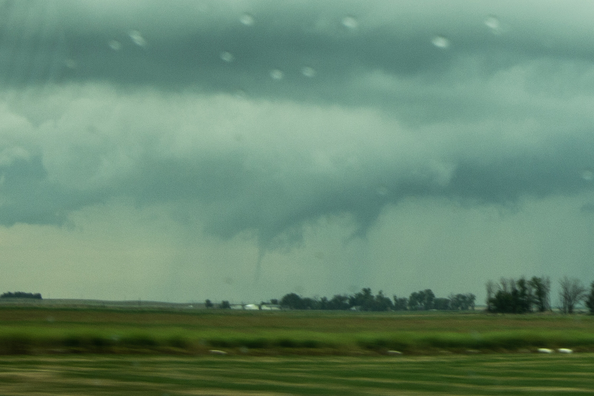
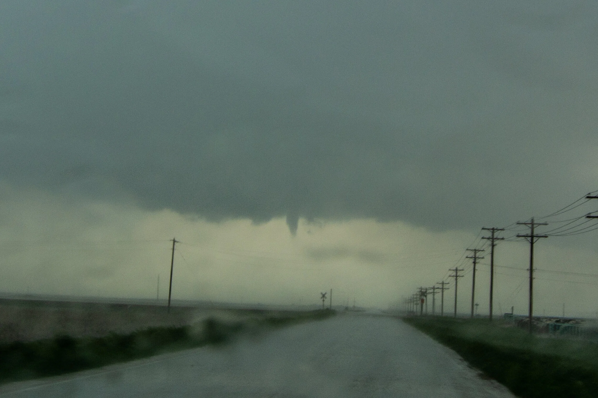
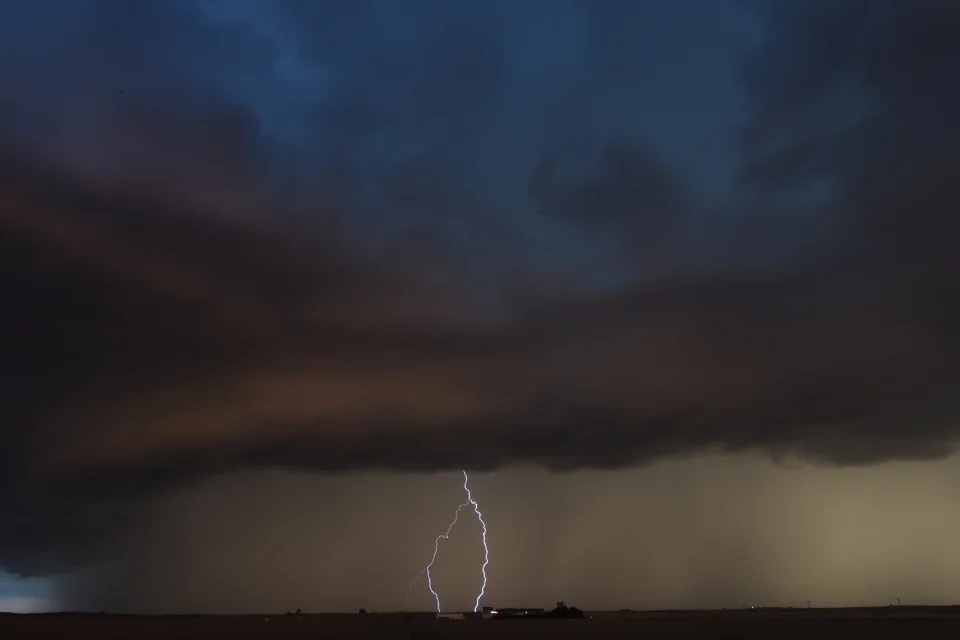
Funnel cloud forming on the left side of the wall cloud just east of Clarks Grove, Minnesota.

DSC_2362.jpg

Nice clear slot punching in on the left side of the wall cloud as the downdraft and inflow combination was becoming better aligned. This is a classic look before a storm produces a tornado, which it did a short while later in Hollandale.

DSC_2385.jpg

Another funnel tightening up nearly right overhead near Hollandale, Minnesota.

DSC_2387.jpg

Yet another funnel cloud forming near Lansing, Minnesota. This was around 5 miles south of my hometown of Blooming Prairie. Notice the well defined clear slot on the back edge of the wall cloud on the left…textbook.

DSC_2391.jpg

Another funnel cloud (right in the middle of the photo) looking to the east from near Lansing, Minnesota.

DSC_2394.jpg

Looking directly up at the storm updraft towering to the heavens.

DSC_2397.jpg

Wall cloud and inflow tail still going strong as the supercell continues to cycle near Waltham, Minnesota.

DSC_2404.jpg

Last wall cloud of the day before we bailed and headed home. This was east of Sargeant, Minnesota.

STORM REPORTS:

190701_rpts_filtered.gif

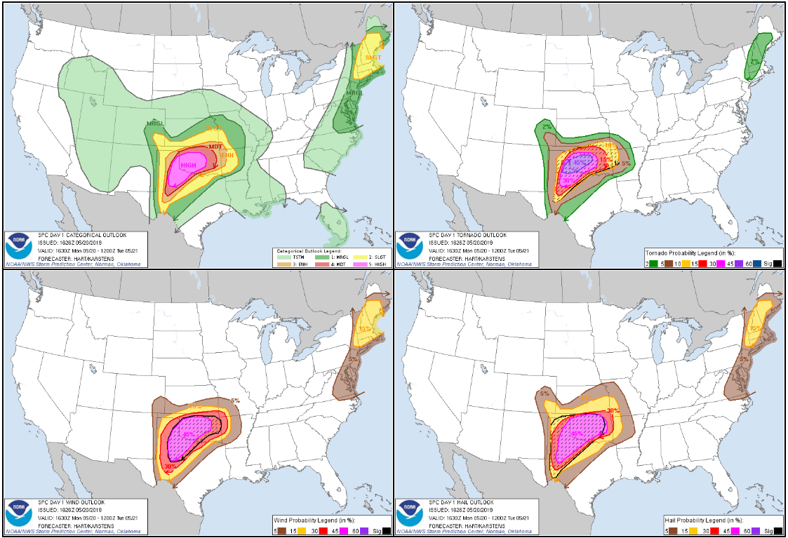
STORM PREDICTION CENTER OUTLOOKS:

Outlooks.jpg

JUNE 29, 2019 NORTH DAKOTA: AWESOME STRUCTURE ON TORNADO WARNED STORM

DSC_2287.jpg

Finally about to intercept a tornado warned supercell that had already been raging for the past few hours in central North Dakota. This is looking southwest from near St. Anthony, North Dakota.

DSC_2304.jpg

Terrific structure on this storm with multiple inflow bands and crisp, rock hard updraft looking southwest near Flasher, North Dakota.

DSC_2312.jpg

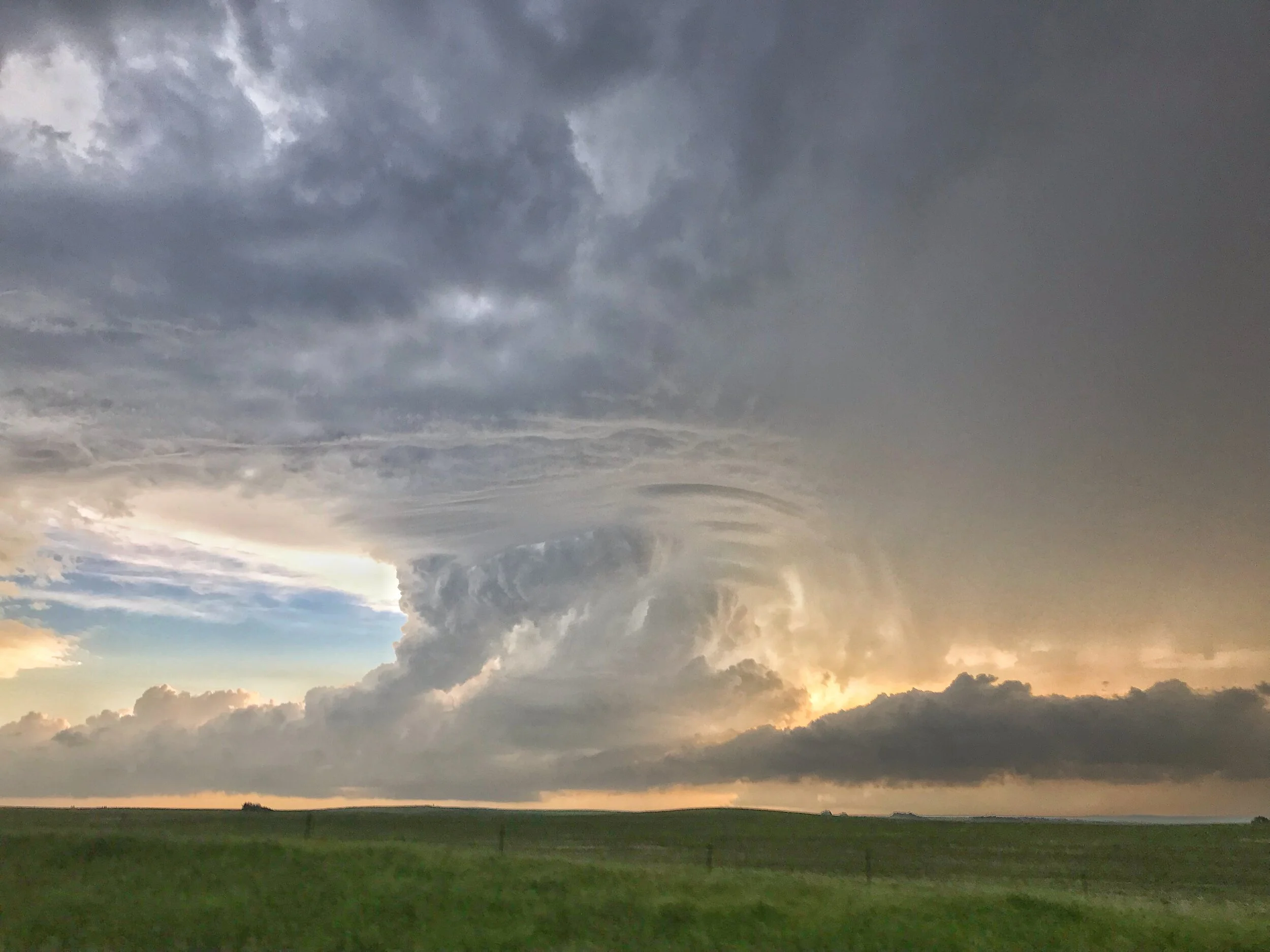
Absolutely jaw dropping storm structure!

DSC_2316.jpg

Some of the best storm structure of the year for me here! Awesome site to the twisting and turning storm updraft.

Edited iPhone shot.

DSC_2321.jpg

Incredibly, the storm went from looking amazing to completely dying within 10 minutes. I’ve never seen a tornado warned storm that looked so great die off this fast.

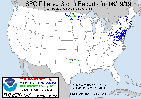
STORM REPORTS:

190629_rpts_filtered.gif

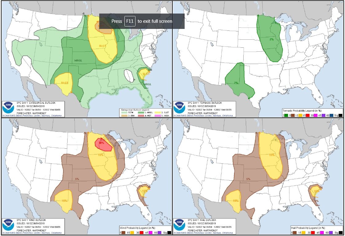
STORM PREDICTION CENTER OUTLOOKS:

Outlooks.jpg

JUNE 4, 2019: MINNESOTA SEVERE STORMS AND SHELF CLOUD

DSC_2244.JPG

Shelf cloud approaching, looking west from near Lonsdale, Minnesota. Nice easy drive from my house to intercept this severe warned storm!

DSC_2253.JPG

The storm definitely still had some inflow on the right side where the gust front butted up against the forward flank core, as indicated by the notch as well as winds into the storm at my position.

DSC_2256.JPG
DSC_2262.JPG
DSC_2267.JPG
DSC_2271.JPG

Shelf cloud about to overtake me!

DSC_2276.jpg

Awesome undulatus asperatus display as the storms moved over our house in Farmington!

DSC_2280.jpg

STORM REPORTS:

190604_rpts_filtered.gif

STORM PREDICTION CENTER OUTLOOKS:

MAY 26, 2019: BRIEF TORNADO NEAR WILEY, CO; FUNNELS, SUPERCELLS AND HAIL

DSC_2067.jpg

Nice looking view of our first storm of the day and the open landscape of eastern Colorado near Lamar. I like the wavy look to the clouds and the virga as the atmosphere was moistening up during the early afternoon.

DSC_2074-2.jpg

Confirmed tornado near Wiley, Colorado! The first storm we intercepted produced this tornado quickly as it interacted with the warm front.

DSC_2079-2.jpg

The same tornado as above starting to lift and rope out at this point.

Tornado roping out north of Wiley, Colorado.

DSC_2091-2.jpg

Another low funnel that may have touched down but not confirmed to the north of Big Bend, Colorado. This was the same storm that produced the tornado earlier.

DSC_2111.jpg

Our second tornado warned supercell of the day with a beautiful wall cloud developing to the south of Lubers, Colorado. Lots of chasers on this storm!

DSC_2121.jpg

Wall cloud tightening up to our west near Lubers, Colorado.

DSC_2126.jpg

This was the closest that this storm came to producing a tornado as the rotating wall cloud really tightened up here just to our west.

DSC_2139-2.jpg

Driving north towards Eads, Colorado the storm had a very low-hanging wall cloud that could have easily produced.

DSC_2144-2.jpg

Larger view of the wall cloud to our north as we drove on highway 287 towards Eads, Colorado.

DSC_2161.jpg

Caught up to the storm near Eads, Colorado and were able to drive right up to the rotating wall cloud.

DSC_2173.jpg

After driving through the forward flank hail core, we passed to the north of a beautifully structured wall cloud just to the east of Eads on highway 96. This was one of, if not the best wall cloud that I saw all year in 2019!

DSC_2194.jpg

We got a little further east of the wall cloud towards Chivington, Colorado and continued to view the rotating wall cloud and rain curtains wrapping around the hook of this tornado warned storm.

DSC_2197.jpg

Tight wall cloud/funnel just to our south near Brandon, Colorado. Nearly produced a tornado!

DSC_2216.jpg

One wall cloud in the foreground and you can see another wall cloud wrapped in rain in the distance near Sheridan Lake, Colorado.

DSC_2223.jpg

End of the day and chase near Sheridan Lake, Colorado as the storm was starting to become outflow dominant as noted by the shelf cloud. Thereafter, we began the long all night drive back to Minnesota. Well worth sticking around an extra day for this chase!

STORM REPORTS:

190526_rpts_filtered.gif

STORM PREDICTION CENTER OUTLOOKS:

Outlooks.jpg

MAY 25, 2019: FUNNEL CHASE ALONG THE COLORADO, OKLAHOMA, KANSAS BORDER

 
IMG_0629 (Edited).JPG

Cell phone shot of a lightning strike on our initial storm near Dumas, Texas.

DSC_2018.jpg

Rotating wall cloud and scud fingers rising up into the base with several inflow bands right to left near Sturgis, Colorado.

DSC_2020.jpg

Beautiful storm in Johnson City, Kansas, approaching from the southwest. Big hail core about to overtake us before we quickly got out of there.

DSC_2041-2.jpg

Funnel cloud south of Johnson City, Kansas. Was quite persistent and a bit of a surprise being on the storm coming up from our south and not our initial storm we were on!

DSC_2048-2.jpg

Another shot of the funnel cloud as we were flying south of Johnson City, Kansas trying to get a closer look.

DSC_2062.jpg

Looking west from Big Bow, Kansas at another storm dropping a lowering and interesting rising scud underneath the main updraft on the tail end storm. Never did anything but this was interesting to see at this point!

STORM REPORTS:

190525_rpts.gif

STORM PREDICTION CENTER OUTLOOKS:

Outlooks.jpg

MAY 17, 2019: MCCOOK, NEBRASKA TORNADO AND CHASE

 
DSC_1696.jpg

First storm of the day developing west of Wallace, Nebraska. Beautiful chase country out here!

DSC_1700.jpg

Wall cloud developing as storm base lowers just north of Herndon, Kansas. Starting to get excited about our possibilities at this point!

DSC_1703.jpg

Wall cloud still getting organized just north of Herndon, Kansas near the KS/NE border.

DSC_1706.jpg

Twin funnels! Shortly after the last photo between Herndon, Kansas and Culbertson, Nebraska.

DSC_1716.jpg

After the twin funnels, the wall cloud remained as we traveled northeast on dirt roads to the southwest of McCook, Nebraska.

DSC_1721.jpg

Another funnel southwest of McCook, Nebraska as we stair-stepped up to the northeast and followed closely.

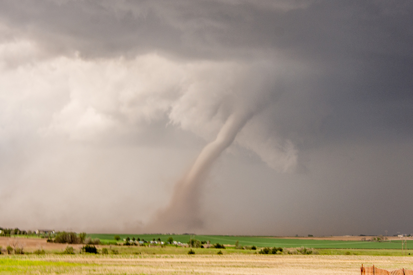
Beautiful tornado looking west from McCook, Nebraska! Impressive dirt plume.

DSC_1728.jpg

Wide shot of the tornado outside of McCook. What a beauty! Wizard of Oz type tornado.

DSC_1729.jpg

Even wider shot of the whole storm and tornado. Notice that impressive and textbook clear slot to the left of the tornado with the eroded cloud base.

DSC_1772.jpg

Awesome tightening up and rapidly rotation wall cloud near Farnam, Nebraska. We drove right up to this thing but it did not produce.

STORM PREDICTION CENTER OUTLOOKS:

Outlooks.jpg

STORM REPORTS:

190517_rpts_filtered.gif

CHASE LOG, PROVIDED BY RICH HAMEL

A great chase day rewarded by 2 tornadoes (some saw 3) and some adrenaline pumping close encounters! We started the day in North Platte with a general target northeast of the triple point near McCook, NE, with the intent to also keep an eye on storms forming further west along the Nebraska / Colorado border, or potentially needing to drop even further south into Kansas. We initially headed south on Rt. 83 down to McCook, but as storms were already firing west of us, we almost immediately turned around and headed back up to Wellfleet, west on Rt. 20 to Wallace, and then south on Rt. 25. We then stopped about 10 miles south of Wallace to consider our options: there were robust storms to the west coming off the Cheyenne Ridge, but we were concerned they would be high based. Meanwhile to our south there was a storm coming up from Goodland, KS struggling in bad air, but quickly moving into a far better environment. We ultimately decided to target that storm and headed south.

We proceeded down through Hayes Center, then east on Rt. 6 and south at Culbertson onto Rt. 17. As we closed on the Kansas border, the rock-hard eastern wall of the updraft of our rapidly intensifying storm became visible and we knew we’d made the correct choice of storms. We ended up stopping about 2.5 miles from the Kansas border just north of Rt. 704 and could see scud rising into the base of our storm, but as yet it was still fairly disorganized. We stayed with the storm moving back up Rt. 17 and turning off on Rt. 710 to stop and observe again. At this point the storm had a much more defined wall cloud and produced two decent funnels and showed intensifying rotation as the storm got close to us. The storm began to get the look that it could tornado at any time, but soon we were forced to move or risk being cut off by the hail core packing 2-3” hail, so we scooted north to stay ahead. We headed back up 17 and then east on Rt. 713 which unfortunately was dirt, watching behind us as the wall cloud showed more and more rotation. With the storm moving quickly northeast, we blasted east on the dirt road and then north on road 384 and thankfully back onto the pavement into McCook.

As we got to McCook, the tornado sirens were blaring and we decided to head north for a mile or two on Rt. 83 out of town to get a look before heading east. As soon as we turned north, we spotted a large dirt plume, RFD, and then north of that another… with a large funnel extending downward. Tornado! We quickly turned into a nice, empty parking lot near Heritage Hills Golf Course with a clear view to the west and observed the large tilted “Wizard of Oz” tornado churning up dirt about 3 miles west of town. The big white tornado moved northward with a large, dirty debris fan for several minutes, then roped out with a large kink and elongated funnel that stayed in one spot churning as the funnel stretched more and more northward before finally dissipating. We knew the storm was not done yet but now had some catching up to do so we beat feet east!

We now had considerable maneuvering to do in the very poor road network of southwest Nebraska and it would be nearly an hour before we were back in position. We blasted east on Rt. 6 almost all the way to Cambridge, temporarily losing our view of the wall cloud, then turned north on the paved Rt. 73A. We eventually intersected with Rt. 18 to head east…. Only to find that it was not paved!! This slowed our progress dramatically. We slugged our way east about 3.5 miles before turning north onto another dirt road heading towards Eustis. Around this time as we were about 5.5 miles SW of town, we were seeing more tornado reports and heard word of a dusty cone tornado in progress. Our view to the west, when we could see going up and down through little ravines, was of the old meso deteriorating and the new one with a large amount of dirt flying but no clear view of the tornado if it was still there (some guests said they could see it, and later I did see a picture one had taken that made it pretty clear. I did not). Continuing onwards, we descended into a gully, only to hear of another tornado in progress! We quickly turned up a side road and saw an elephant trunk tornado in the distance in the process of roping out for tornado #2 of the day! It only persisted for a minute or two then we were back to our trek in the dirt.

We finally made it to Eustis and back on pavement and quickly blasted west right towards the meso and met it just as it crossed Rt. 23 near Farnam. The wall cloud was spinning like crazy and it appeared that the storm might drop a tornado right in front of it but it never quite focused. We waited until the meso started to fade from view and then blasted east again to keep up. Later, there were several tornado reports from Farnam as the storm must have tornadoed right after it got out of our sight.

We passed through Eustis again and north on Rt. 21 with the wall cloud just to our west churning away. About 15 minutes past as we blasted up towards Cozad, racing the hook echo to town to prevent getting cut off. As we closed on the Interstate and a safe path east, the mesocyclone was quickly closing on our position and soon was almost right over us. In fact, from van 2 I was yelling over the radio that a satellite area of rotation appeared to literally be right over the lead van. The storm just beat us to the highway and soon we were punching the hook from the south with a big block wall cloud just to our northwest and crazy rising motion all around out. As we got to I-80 and started heading east, we were blasted by strong RFD winds that threatened to blow the van right off the left side of the highway with the wall cloud churning seemingly right outside the driver’s side window!

After that adrenaline moment, we headed east down I-80 (and later, there were more tornado reports in Cozad where we’d just had the close encounter) and got off again at road 428, blasting north right back at the mesocyclone we’d just left. We caught up again about 5 miles north of the highway and were once again in the bear’s cage right under the meso, with a huge plume of RFD dirt rising almost surreally to our east, and the wall cloud immediately to our northwest. Suddenly a huge gustnado blew up right to the left of the vans, immediately causing several guests to scream “Tornado!!” I could see the rotating plume of dirt, but not the cloud base, so I could not confirm myself but others could see that there was no connection to cloud base nor was there a funnel, so it was confirmed as a gustnado, not tornado. Still, some anxious, exciting moments! Ultimately, after heading east on road 761 to continue stair-stepping, we stopped the chase about 10 miles from the highway as the mesocyclone was getting away from us and there was no way to keep up with the road network north of the highway. Passing through Lexington back onto the highway, we were less than an hour from our hotel in Kearney and got there early enough to celebrate with a good meal and a beer at Old Chicago.

A really fun chase day! Two tornadoes, maybe 3, and a couple of very up-close moments under the mesocyclone. A pretty solid chase considering the road network. With better roads, I’m certain we could have gotten 4 or 5 tornadoes from the storm.

Miles for the day were 389.2 for a trip total of 1243.1

MAY 16, 2019 NEBRASKA: SUPERCELL AND TERRIFIC LIGHTNING DISPLAY

 
DSC_1497.jpg

Storm developing in front of us with initially elevated base near Grant, Nebraska.

DSC_1498.jpg

Storm continuing to develop near Grant, Nebraska. Rain and hail curtains becoming more prevalent.

DSC_1525.jpg

Wall cloud starting to develop near Madrid, Nebraska.

DSC_1598.jpg

Awesome structure and shelf cloud near Paxton, Nebraska!

DSC_1610.jpg

Another shot of the storm’s shelf cloud near Paxton, Nebraska.

DSC_1657.jpg

The first in a series of great lightning shots from near Brady, Nebraska! Several to follow below:

DSC_1658.jpg
DSC_1660.jpg
DSC_1667.jpg
DSC_1670.jpg
DSC_1672.jpg
DSC_1681.jpg

Stopped near an irrigation system near Brady, Nebraska to catch some additional lightning shots.

STORM PREDICTION CENTER OUTLOOKS:

Untitled.png

STORM REPORTS:

CHASE LOG, PROVIDED BY RICH HAMEL:

A day that looked like not much was going to happen turned into a fun chase day! Starting in Oklahoma City, we targeted a sagging front in Nebraska, knowing that the target area would be where we wanted to be for the upcoming triple point the next day and we had to get up there anyway. With low expectations because of a lack of sheer and modest dewpoints, we traveled all the way from OKC to Ogallala, NE before stopping to decide what to do. When we got there, there was a severe, anchored storm about two hours to the north near Alliance which was the original plan to target, but as the storm was pulsing down and a new group of storms was forming to our south from Julesburg, CO to Imperial, NE, we waited a bit longer and then proceeded straight south toward a storm that was just getting to Imperial. We headed down Rt. 61 through and to the east of Grant and stopped to observe the first storm coming towards us.  The results however were not impressive as the storm had very little lightning and nothing else to offer. We continued farther south, about half way to Imperial, and watched the storm to our south get a little more intense, and the storm to our west was showing signs of life as well. As the first storm got to us, we headed back east and out onto the dirt county roads north of Madrid. We stopped again as the storm to our west took over the show, with much more lightning and some motion under the updraft. Soon the rain was encroaching on our position and since we were on a dirt road, we had to run to keep from getting stuck in the mud.

As we stair-stepped north and east trying to get to pavement, we observed a good deal of blowing dust from the gust front and outflow, and later as we made it to pavement and headed up the road north to Paxton, observed a gustnado to our east that looked like it could have been a landspout, but had no visible connection to cloud base or funnel.

Up near Paxton, we stopped and watched the now linear storms come at us and produce a really cool shelf cloud, rolling and roiling towards us. We observed the great structure and intensifying lightning for a about 10 minutes before heading east to get to the tail end of the line, blasting down I-80 until we got to Hershey then heading south on Rt. 56C. Now the shelf cloud had taken on an orange tint and was massively electrified as the whoile line was now severe warned. As the cell directly to our south got closer, the storm intensified and soon had maxed out VIL’s, meaning big hail, coming straight at us. We blasted east just in time, catching a little hail but no damage. We continued east on I-80 all the way to Brady, stopping there to watch lightning in all directions, from little popcorn storms north of us, and the more robust line to out south. After about 15 minutes, we called it a day and made the easy trek to North Platte and the hotel.

Miles for the day were 773.1 for a trip total of 853.9