MAY 26, 2019: BRIEF TORNADO NEAR WILEY, CO; FUNNELS, SUPERCELLS AND HAIL
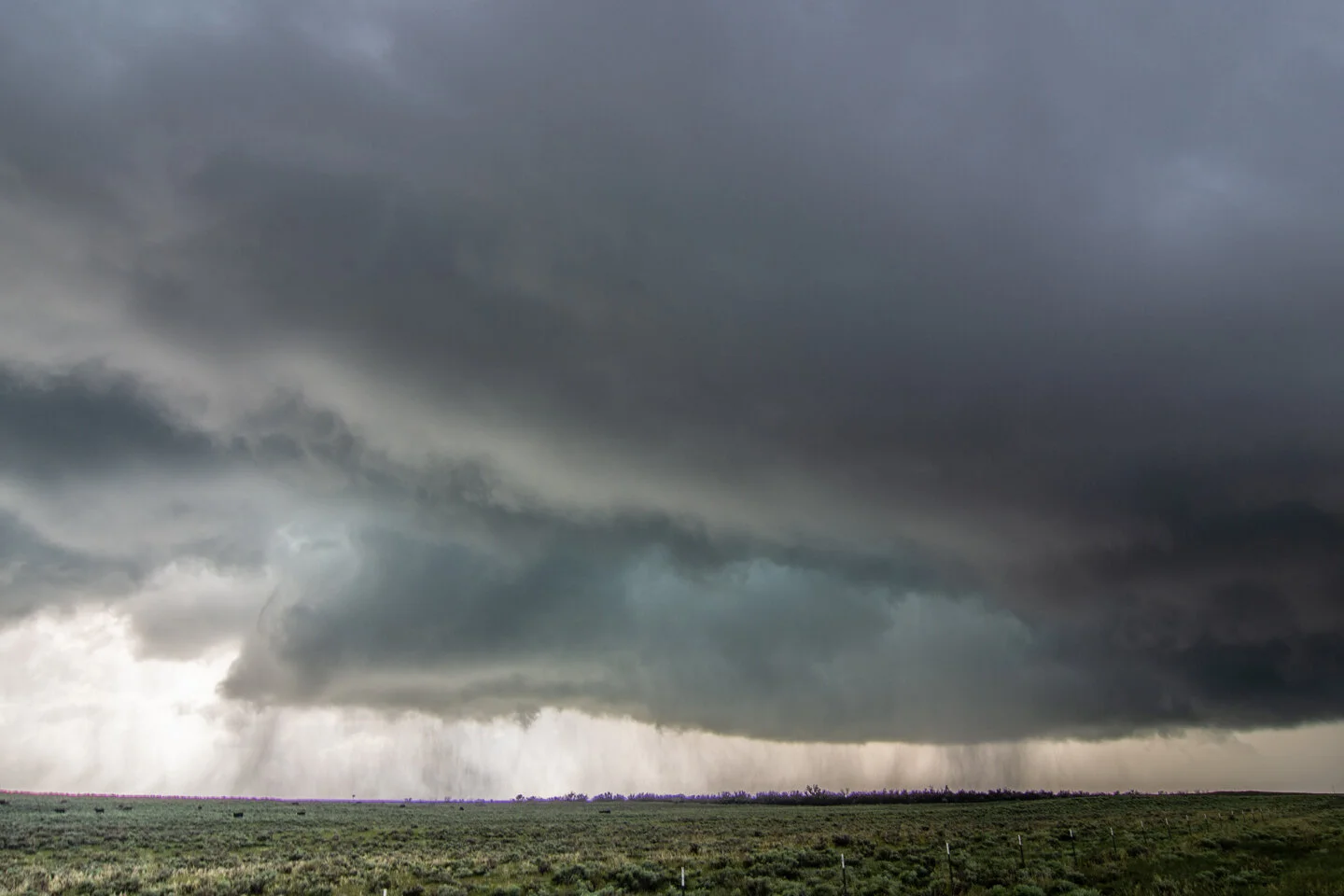
Nice looking view of our first storm of the day and the open landscape of eastern Colorado near Lamar. I like the wavy look to the clouds and the virga as the atmosphere was moistening up during the early afternoon.
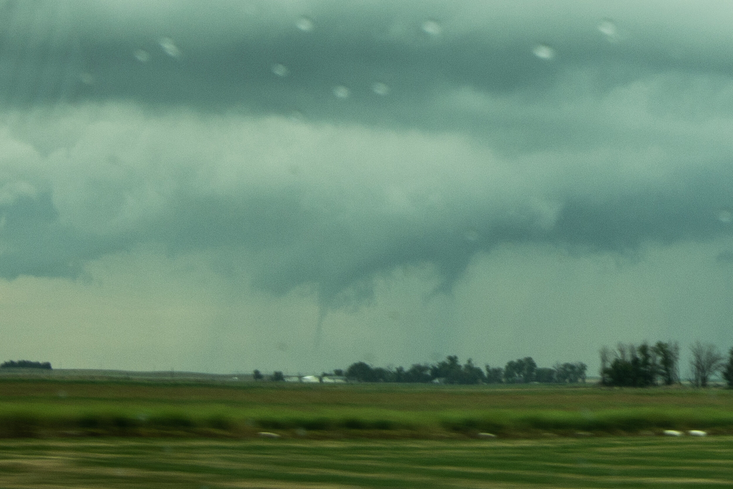
Confirmed tornado near Wiley, Colorado! The first storm we intercepted produced this tornado quickly as it interacted with the warm front.
The same tornado as above starting to lift and rope out at this point.
Tornado roping out north of Wiley, Colorado.
Another low funnel that may have touched down but not confirmed to the north of Big Bend, Colorado. This was the same storm that produced the tornado earlier.
Our second tornado warned supercell of the day with a beautiful wall cloud developing to the south of Lubers, Colorado. Lots of chasers on this storm!
Wall cloud tightening up to our west near Lubers, Colorado.
This was the closest that this storm came to producing a tornado as the rotating wall cloud really tightened up here just to our west.
Driving north towards Eads, Colorado the storm had a very low-hanging wall cloud that could have easily produced.
Larger view of the wall cloud to our north as we drove on highway 287 towards Eads, Colorado.
Caught up to the storm near Eads, Colorado and were able to drive right up to the rotating wall cloud.
After driving through the forward flank hail core, we passed to the north of a beautifully structured wall cloud just to the east of Eads on highway 96. This was one of, if not the best wall cloud that I saw all year in 2019!
We got a little further east of the wall cloud towards Chivington, Colorado and continued to view the rotating wall cloud and rain curtains wrapping around the hook of this tornado warned storm.
Tight wall cloud/funnel just to our south near Brandon, Colorado. Nearly produced a tornado!
One wall cloud in the foreground and you can see another wall cloud wrapped in rain in the distance near Sheridan Lake, Colorado.
End of the day and chase near Sheridan Lake, Colorado as the storm was starting to become outflow dominant as noted by the shelf cloud. Thereafter, we began the long all night drive back to Minnesota. Well worth sticking around an extra day for this chase!


