April 23rd TEXAS - SUPERCELL STORM OFF THE DRYLINE
My location in the crosshairs as I was playing catch up to the impressive looking storm on radar. Even had an indication of a hook developing!
View of the supercell that I was going after on the right, and another storm that had developed to the north (on the left).
Getting closer to the storm east of Garden City, TX. Can notice a flanking line attempting to get going on the southwest side of the storm as I'm looking to the northeast.
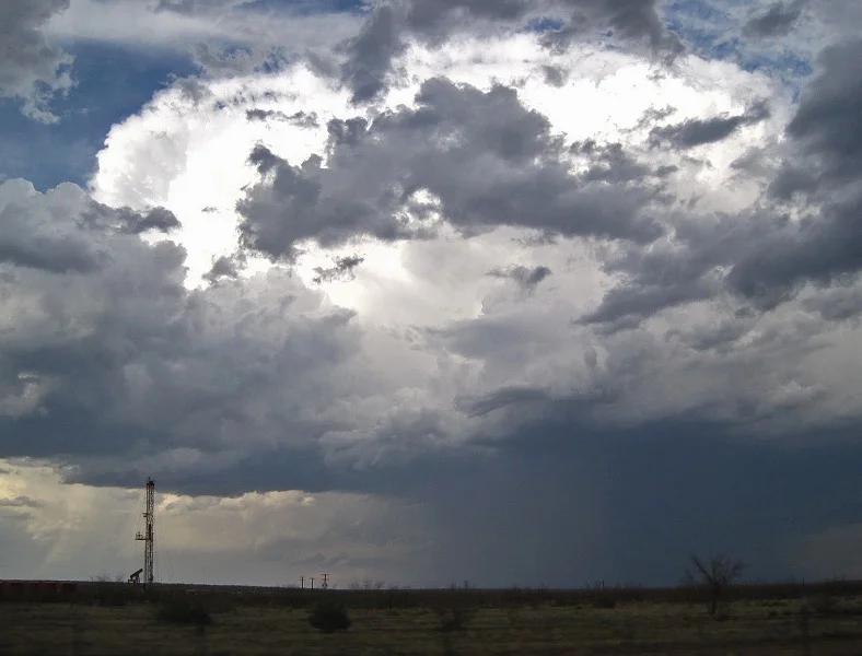
Another view of the storm as I approached, upon heading north out of Sterling City, TX. Fairly large rain and hail core.
RFD clear slot cutting in on the left side of the image with some noticeable motion occurring at this time, where the clear slot intersected the storm's high base.
Flanking line bases of new storm updrafts developing to the southwest of the storm I'm following near Sterling City, TX.
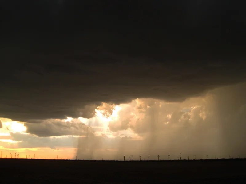
Setting sun behind the storm with dark bases of new storm updrafts overhead.
Nice circular, bowl base on the storm as I caught up to it northeast of Sterling City, TX.
This might be one of the smallest hail shafts that I've ever seen! A small but intense tube of hail being ejected out of the south side of the storm's updraft.
Beautiful mesa rock formation in the distance being lit up by the setting sun. South of Silver, TX.
STORM REPORTS:
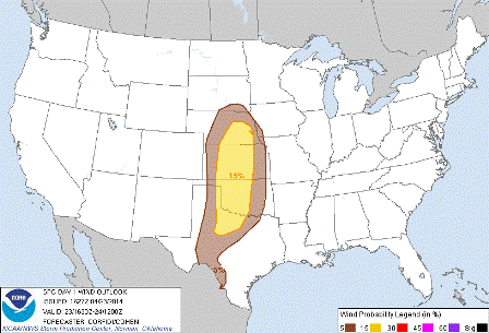
STORM PREDICTION CENTER OUTLOOKS:
APRIL 23, 2014 CHASE LOG: TEXAS
This was a spur of the moment chase after working in Midland, TX at the Web.com Tour as the on-site Meteorologist. I knew that storms would be firing on the dryline later in the day, about 30 miles east of Midland Country Club. I was able to leave work at 6pm and drive southeast from Midland on Hwy 158 through Garden City over to Sterling City. There was one storm that was holding together nicely that I was targeting. Even though the LCL’s were very high with dewpoints in the middle 50s and weak bulk shear, there was enough SB CAPE of near 2,000 j/kg to sustain a lower topped supercell storm that developed off the dryline and was only moving 15 mph to the east-northeast. Upon approaching the storm, it began to form a hook echo signature as the RFD was attempting to wrap around. No chance of a tornado though since it was so high based, but I was hoping to possibly see a funnel. I was able to catch up to this storm near Sterling City, taking Hwy 158 to the north and then east. At this point, it became severe warned right as the storm started to form a nice, cylindrical base. The hail core was clearly strengthening at this time, hence the reasoning for the severe warning per the NWS. It really had nice structure for a while before flanking line storms started to take over and rob the initial storm. Towards sunset, I followed north on a remote Hwy 2059 towards the town of Silver. Here is where I drove into a small hail core of dime size. This was one of the smallest hail chutes that I had ever seen, being thrown out the south side of the storm. Glad the hail was not large enough to damage my rental car! Upon reaching Silver, it was dark and I proceeded north to I-20 and back to Midland. A fun little chase after a day of work.


