MAY 7TH MINNESOTA: BACK-LIT THUNDERSTORMS AND VORTICITY ROLL
Rays of light shining through the developing thunderstorm over Fairmont, Minnesota.
Thunderstorm updraft starting to explode to the northeast of Fairmont, Minnesota.
Thunderstorm updrafts with anvil clouds overhead. Taken off Hwy 53 north of Granada, Minnesota.
Think the plane contrail symbolizes the storms updraft quite well!
New updraft on the storm near Amboy, Minnesota.
Good color as we are getting towards sunset with this storm. Small rain shaft underneath the cell.
Lucky enough to catch a bolt of lightning as I was taking photos of the storm at sunset! Really like this shot.
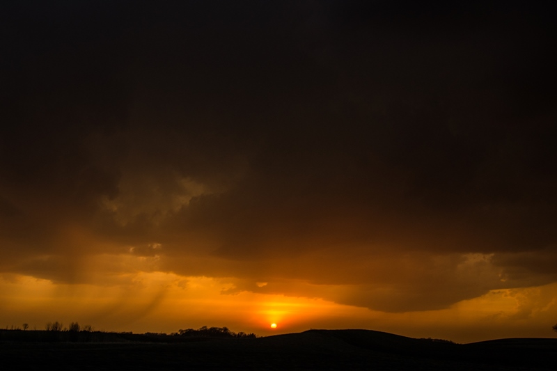
Another shot of the sun setting underneath the base of the storm. Awesome color!
Another storm updraft to our north close to the same time as the sunset photo taken above. Notice the inflow tails into the storm. Still high-based north of the warm front.
One last shot of the storm at sunset before we headed home.
Video grab of the vorticity roll as we were driving under the storm in the vicinity of Mapleton.
Another shot of the incredible vorticity roll, or horizontal rotating column of air embedded in the storm's base.
STORM REPORTS:
STORM PREDICTION CENTER OUTLOOKS:
MAY 7, 2014 CHASE LOG: MINNESOTA
This chase was along a warm front through southern MN, while a surface low entered southwest portions of the state during the afternoon. Even though the upper trough was still well to the west and across the Rockies with some ridging in the Upper Midwest, there was ample wind shear and instability for supercell thunderstorms if updrafts could overtake the strong EML/cap. Bulk shear by late in the day was increasing to 40-50 kts with the 2,500 j/kg MLCAPE contour poking up into south-central MN per mesoanalysis. It appeared that most of the storms would remain elevated in nature to the north of the warm front and storm motion would be slow to the northeast, but any storm that would be able to root on the warm front would have the chance at producing a tornado, especially considering the high SRH values along and north of the front.
Our group consisted of me, Joe Halverson, and Kyle Schanus. We progressed towards Fairmont, MN during the afternoon. The area was ahead of the triple point to the west and along the warm front lifting up towards the I-90 corridor. At 2:28pm, SPC issued a mesoscale discussion regarding the potential for at least marginally severe hail with any vigorous storms that can develop (http://www.spc.noaa.gov/products/md/2014/md0513.html). Thunderstorms began to develop ahead of the surface low around 5pm right in the vicinity of Fairmont and then become severe shortly after 6pm. A severe thunderstorm watch was then issued at 6:45pm for southern MN along the warm front (http://www.spc.noaa.gov/products/watch/2014/ww0126.html). We watched the cumulus towers go up from the McDonald’s parking lot in Fairmont and then followed the storms east on I-90 and then north on Hwy 53 near Granada. We followed the storms northeast through Mapleton and then ended the chase shortly after sunset.
There was not a ton of excitement on this chase, but we did manage to see some photogenic storms (especially towards sunset), drive through some dime sized hail, and even see a vorticity roll just after sunset! See the video and screen capture to view this horizontal, rotating column of air. It was a neat and rare sight to see!


