MAY 7TH COLORADO: SUPERCELL & FUNNEL
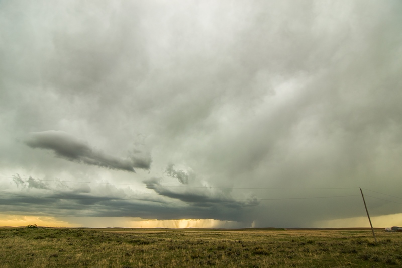
Supercell storm intensifying and still south of the warm front near Abarr, Colorado.
Wall cloud developing on the storm. Notice clear slot behind the wall cloud where the rear flank downdraft cut was occurring.
Another shot of the storm as it was getting closer. Sharp, flat base to the supercell at this point. Dissipating wall cloud on the far right.
Silver Lining Tour guests and crew enjoying the show underneath the mammatus clouds.
Large storm base really taking on a C shape as the RFD cut became larger.
The storm near Vernon, Colorado as we began departing for Oklahoma City. This storm went on to produce several tornadoes that we missed due to having to be back in Oklahoma City that night.


