MAY 8TH OKLAHOMA: TORNADO WARNED SUPERCELL & ROTATING WALL CLOUDS
Developing storm in the foreground with beautiful crepuscular rays coming through the clouds.
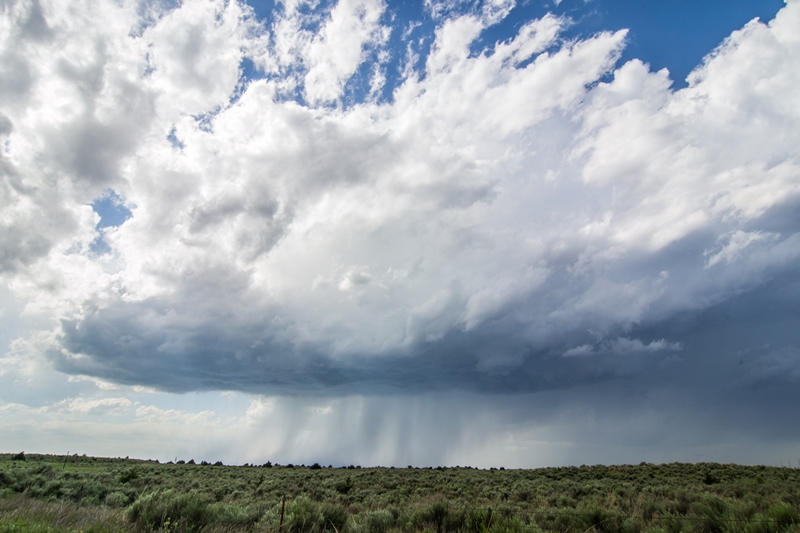
First developing storm north of Woodward, Oklahoma.
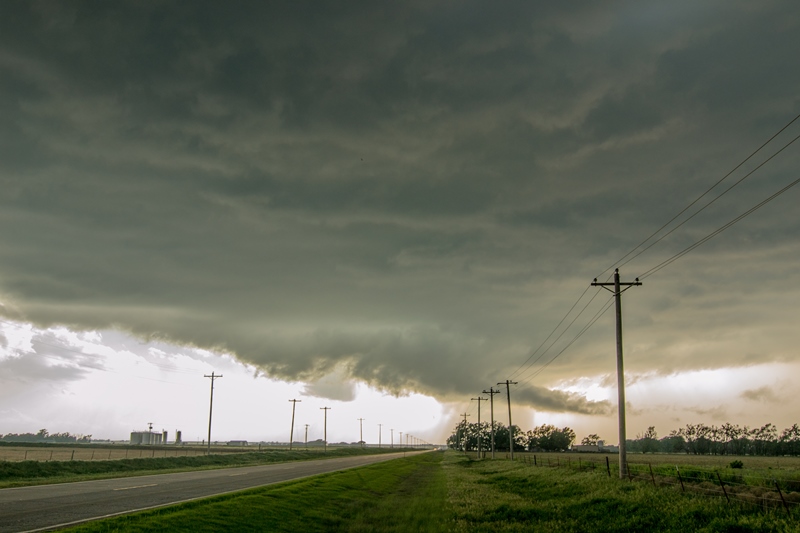
Wall cloud/lowering on the storm as it was starting to get its act together near Freedom, Oklahoma.
Rotating wall cloud underneath the updraft of the storm west of Alva, Oklahoma.
Another view of the condensing, rotating wall cloud.
Strong updraft as the storm reaches its strongest point.
New wall cloud forming after the old one weakened and occluded.
iPhone shot of the wall cloud west of Alva, Oklahoma.
Doppler on Wheels (DOW) heading down the road to re position as the wall cloud we were watching weakened and dissipated.
Strongest rotation of the day on this wall cloud that was tightening up near Alva, Oklahoma. This likely would have produced a tornado at this point if the dewpoints were higher than the lower to middle 60s.
Condensing lowering on the wall cloud, possibly funnel. Very tilted updraft from left to right on this storm.
My position (blue crosshairs) relative to the hook echo north of Alva, Oklahoma.


