MARCH 23, 2016 CHASE LOG: MISSOURI & IOWA
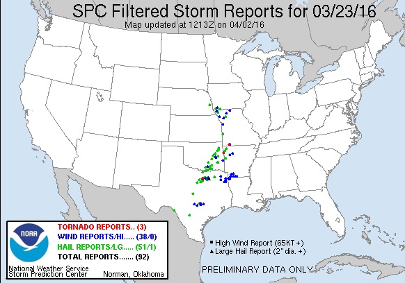
I decided to chase this day, mainly to kick off the rust from my last chase on July 12, 2015 and to see some decent thunderstorms after the long winter season. The set-up included a strong upper level trough going positive to negative tilt by later in the day, a 100 kt 500mb jet streak from Kansas into Iowa, and effective shear of 40-50 kts. At the surface, a surface low moved from near north-central Kansas to southeast Nebraska with a trailing dryline to the south and a near stationary warm front through the southern tier of counties in Iowa. The plan was to target storms that were expected to develop near and just south of the triple point by 21Z (4pm). The main concerns for the day were the dewpoints only projected to get into the 52-55F range and be relatively confined to a shallow layer with dry air aloft, and the other concern having to drive back through a blizzard on the northern end of this system in northern Iowa and southern Minnesota.
I left that morning and headed south on I-35 to I-80 west, then south on Hwy 148 to Corning and eventually making my way down Hwy 71 to Clarinda. I stopped here to take a look at the data and grab a bite to eat. Realizing that storms were likely to first fire in southeast Nebraska and build to the southeast, I headed further west to Shenandoah to wait for initiation, as the town was right on the boundary and wobbling between temperatures from near 60F to lower 70s. A tornado watch was issued at 3pm for the area, valid until 10pm that evening. I was honestly a bit surprised with the tornado watch being issues as I had thought a severe thunderstorm watch would be issued instead due the moisture quality issues into the area.
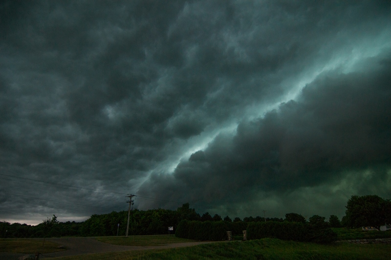
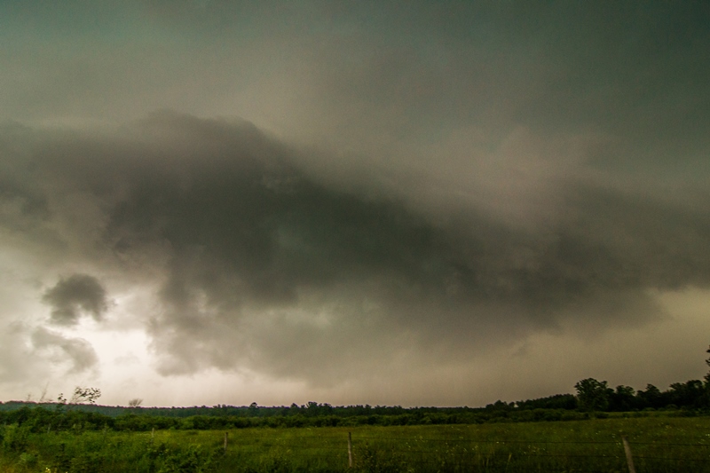
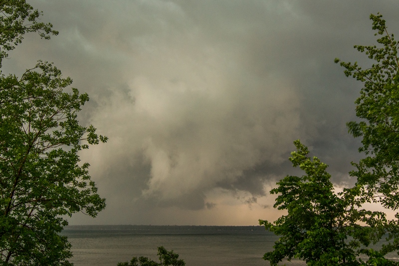
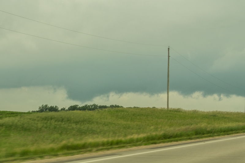
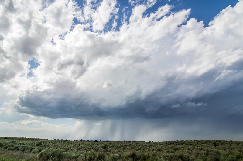
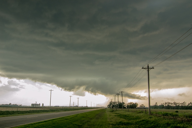
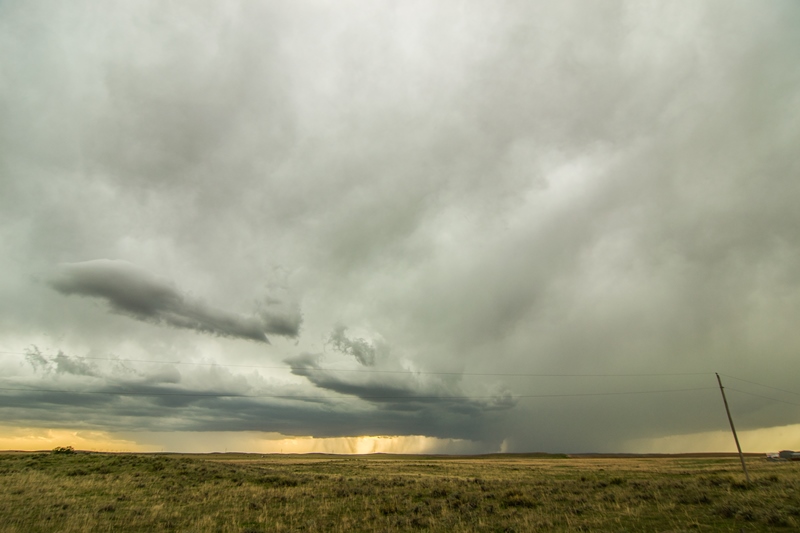
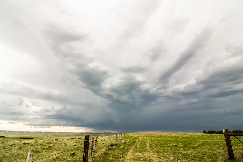
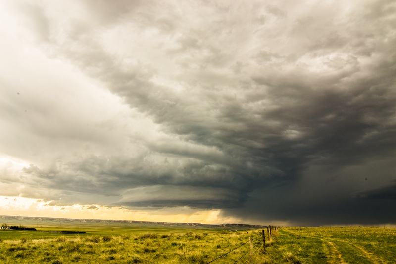
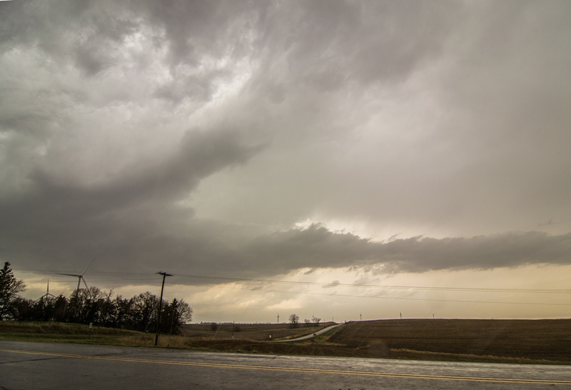
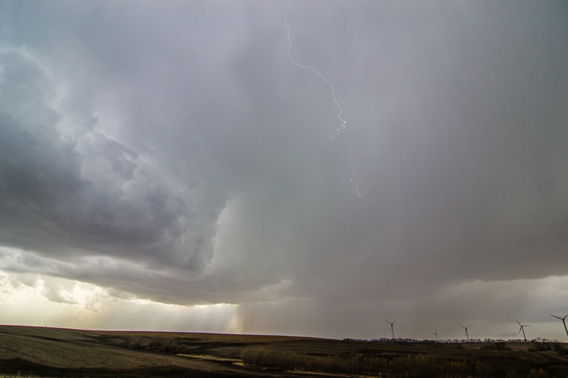
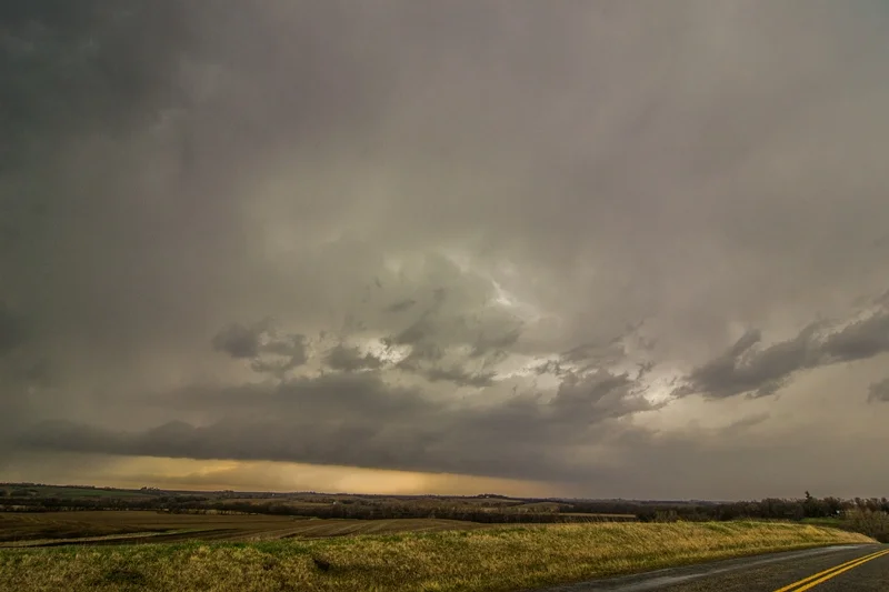
Storms first fired to the west right on the north and east side of the low. I waited for additional storms to begin forming to my south and, sure enough, cumulus towers started building about 30 minutes after the initial storms to my west. I traveled south on Hwy 59 and intercepted storms near the intersection of this road and Hwy C, just across the border near Westboro, Missouri. The storm updrafts were fairly chunky/fluffy going up and did not have that classic, hard look to them, but each storm developed a flat, smooth base and opened up some intense rain and hail cores. I intercepted 4 separate storms in this area over the next few hours, 3 of which became severe thunderstorm warned for mainly large hail but also damaging winds. Some of the storms did form some ragged lowerings and had some inflow feeder tails into them with some decent structure but, overall, I did not witness any areas of organized rotation and none ever came close to having any tornado potential. One particular storm that I followed from east of Westboro north towards Blanchard, Iowa had the best structure of the day with a couple inflow tails and intense cores. These storms congealed and moved north of the front, so I traveled east to stay out ahead of other storms coming up from the south. I intercepted one of these storms in Hopkins, Missouri where small hail was coming down so heavy that it was running down the streets in rivers with intense rainfall as well. Thereafter, I tried to get back out ahead of the storms, traveling east to I-35 and north through Des Moines and home, but managed to stay in the intense rainfall much of the way. Near Dows, Iowa the heavy rain began transitioning to thundersleet and freezing rain where numerous vehicles were in the ditch, including big rigs. After 10 miles of treacherous/slow driving, precipitation transitioned to very heavy snow and near white-out conditions. I slowly made my way north to Mason City and the roads did get a little better to the north of town as the plows had been out. I ended up eventually making it back to my parents place in southern Minnesota after hours of white knuckle driving. What a crazy day going from severe thunderstorms to a blizzard, and lower 70s air to upper 20s air!


