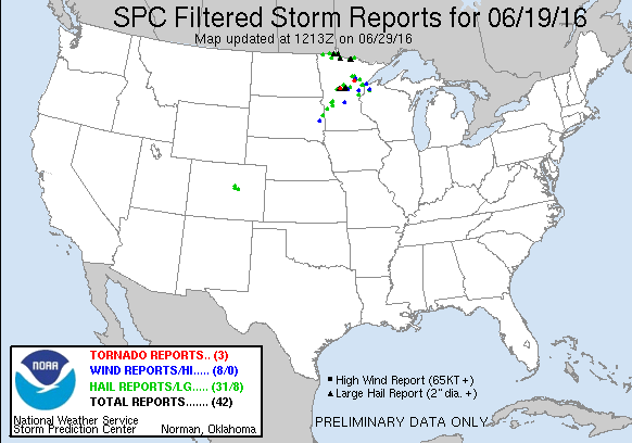
JUNE 19TH MINNESOTA: TORNADO WARNED SUPERCELL
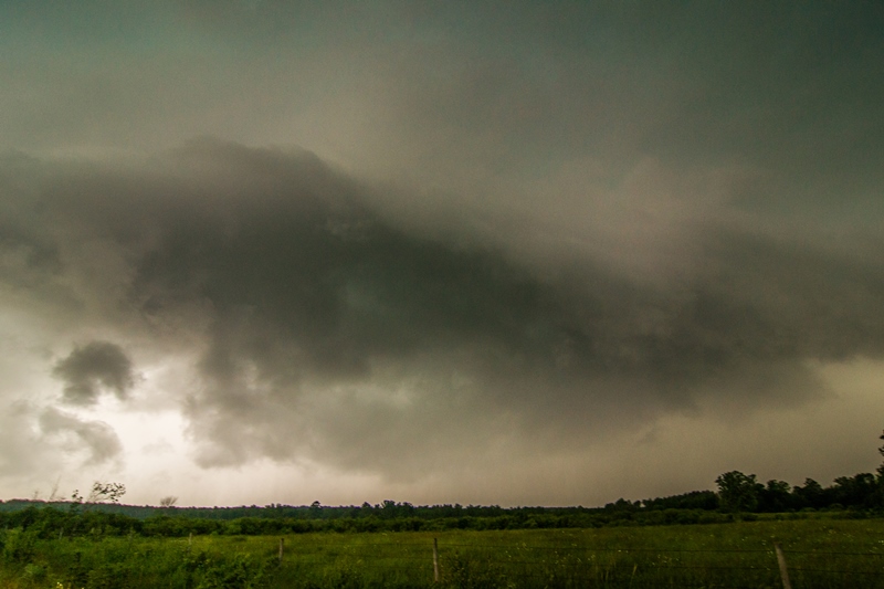
Intercepting a tornado warned supercell west of Lake Shore at the intersection of Cty Rd 1 and 88th St. Nicely structured storm with inflow streamers, large base and wall cloud. The lowering/wall cloud was tough to make out until the storm got closer due to being shielded by rain.
Looking a bit to the right of the base and updraft at the intense core that went on to produce baseball size hail near Nisswa.
A closer view of the wall cloud west of Lake Shore, Minnesota. There was clear rotation at this point and fairly fast condensation into the base.
Wall cloud started to become more ragged as it approached my location but still evident tucked in right by the core and underneath the base.
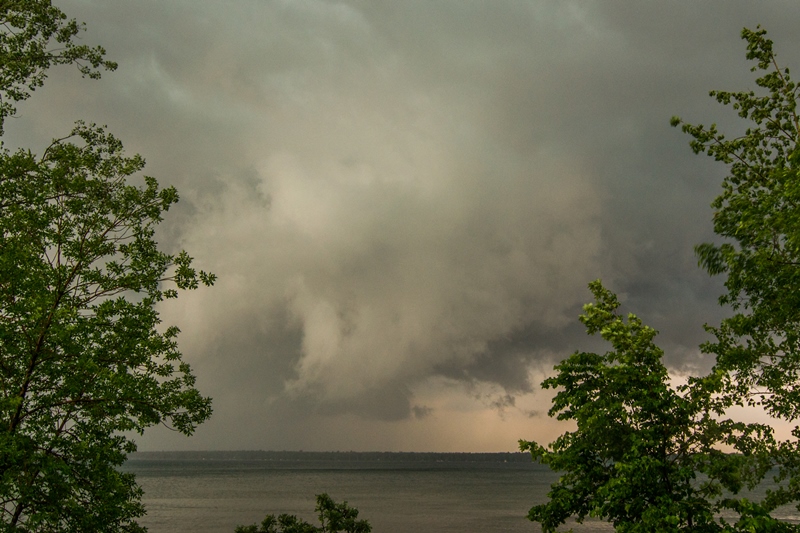
Wall cloud forming over North Long Lake to my east. This is where I came across a vehicle that was down in the ditch and backwards, close to the lake. I checked on him and the guy was ok and had already called for help.
Wall cloud becoming better organized east of North Long Lake as I watched to the west. Attempted to catch up with the storm right after this but got slowed going through Brainerd.
View of the strong and still tornado warned high precipitation (HP) supercell moving north of Mille Lacs Lake. This was taken in Garrison looking northeast.
Double rainbow north of Ogilvie, Minnesota. WHOA, A DOUBLE RAINBOW!!
Base of the former tornado warned storm, and lightning, near Big Lake, Minnesota at the end of the day.


