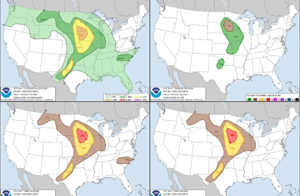
JUNE 14TH MINNESOTA: NUMEROUS FUNNEL CLOUDS & 2 TORNADOES
Longer version featuring highlights from the entire chase:
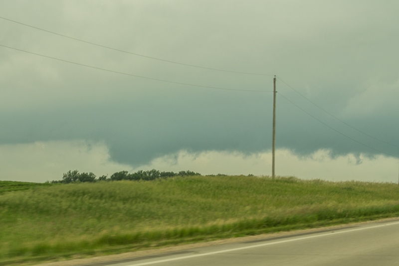
Wall cloud lowering on the first storm near Arco, Minnesota. This cell did not look like much on radar but was spinning like mad and had solid inflow!
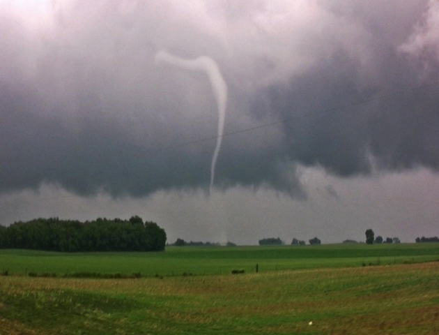
First funnel cloud of the day on the storm near Arco, Minnesota. This storm produced several more funnels.
Another funnel that was rapidly rotating and condensing near Porter, Minnesota. This funnel was 3/4 of the way to the ground but we cannot confirm there was any touchdown in the field right in front of us. I believe we were on Highway 7 to the south of Porter at this time.
Another view as the storm moved just to our north and the wall cloud was really tightening up with a continuous funnel cloud. The wall cloud occluded soon after this as the funnel dissipated.
Took a little while but we eventually got on the next storm after the first one died. This wall cloud was forming with apparent inflow scud fingers near Big Stone Lake on the Minnesota/South Dakota border.
Another wall cloud quickly forming on the storm southeast of Beardsley, Minnesota.
Another funnel cloud quickly formed and dissipated on the storm. Very high sheared air feeding these storms at this point but not a lot of instability.
The most pronounced and lowest funnel cloud of the day that did not produce a tornado. Never could see if this touched down but it had to be close.
Hard spinning storm updraft and developing funnel cloud southeast of Beardsley and southwest of Barry, Minnesota. Strong inflow occurring at this point.
Funnel cloud forming out of the hard spinning and tightening wall cloud shortly after the previous photo. A textbook scenario of fast inflow to the right wrapping into the notch and rear flank downdraft winds cutting around the backside of wall cloud/updraft to eventually produce a beautiful tornado.
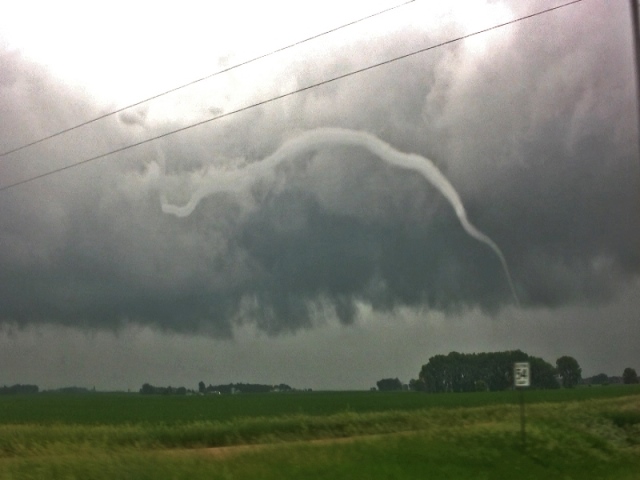
Rope funnel cloud starting to condense to the ground as the storm was moving north of our location.
Video still of tornado and white debris cloud.
Another video still showing stretching vorticity in action! Long, white rope tornado.
Another video still of the long tube.


