AUGUST 5, 2024 MINNESOTA: EF-1 TORNADO NEAR ST. JAMES

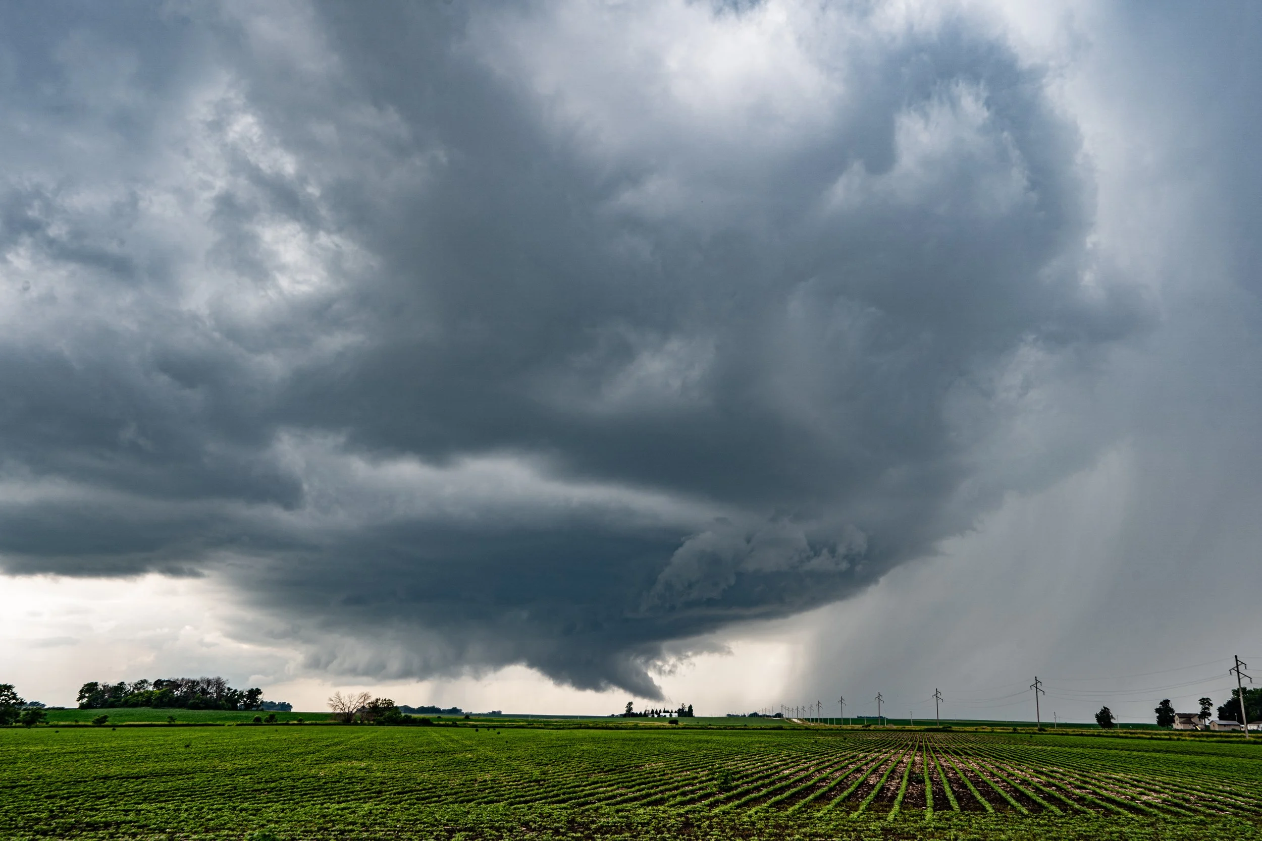
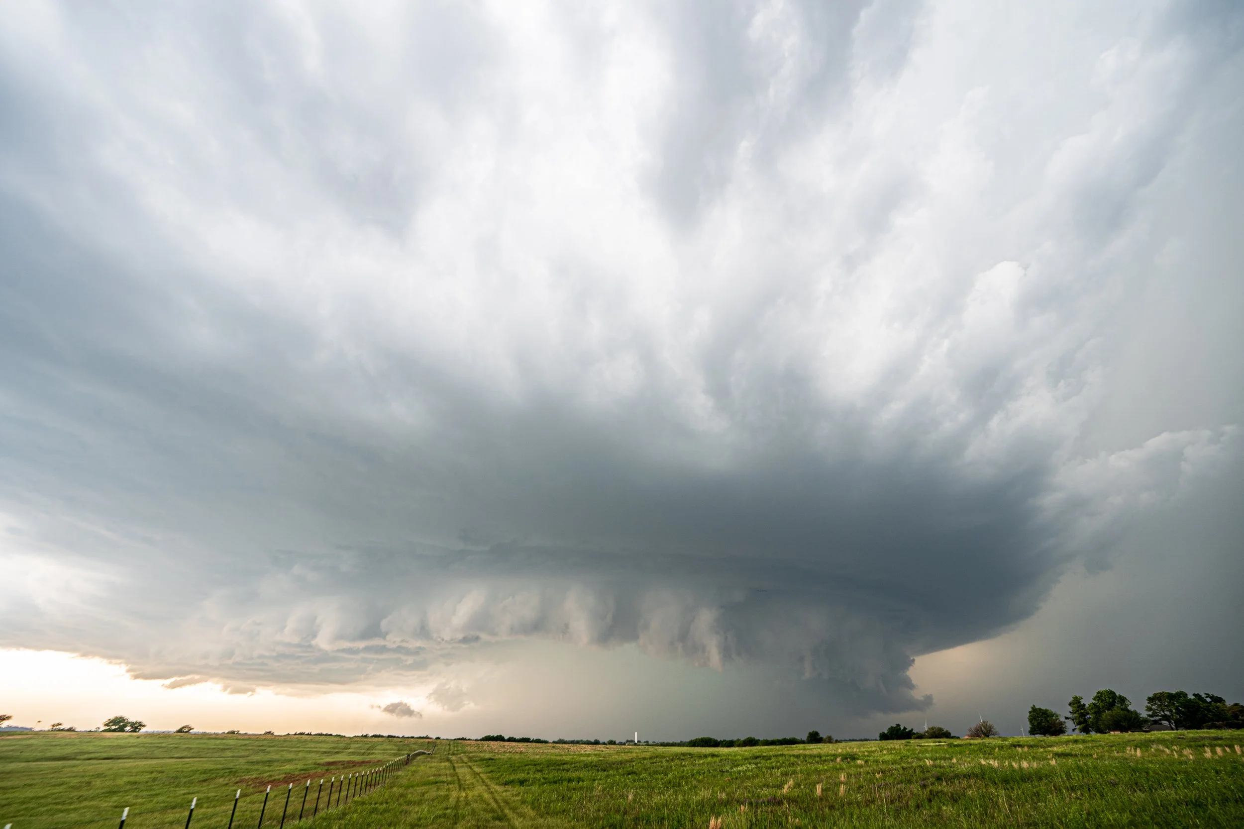
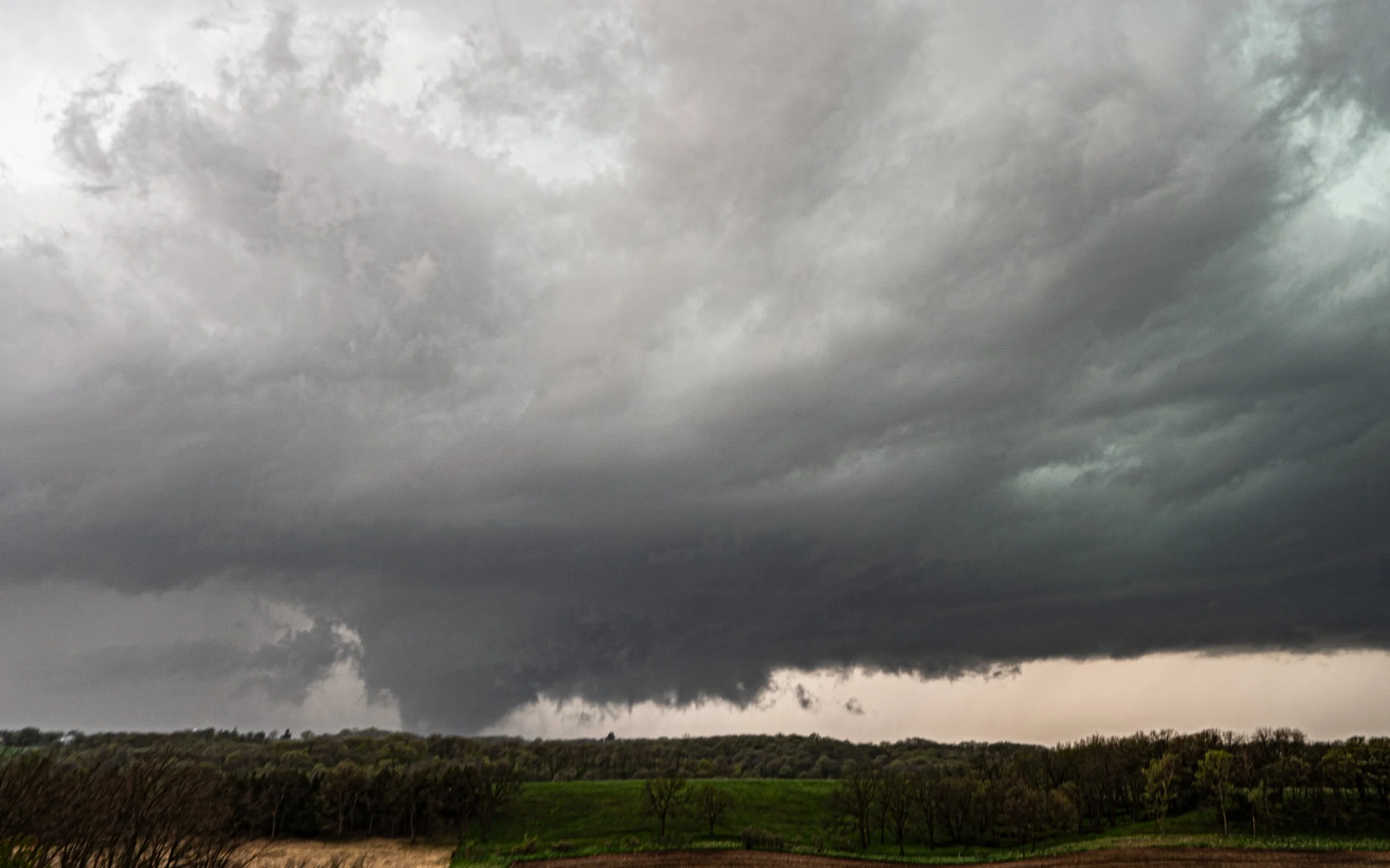
Storm really looking interesting right away as we got on it between Darfur and St. James, Minnesota. Great inflow of hot, humid air, wall cloud forming, clear slot, and great structure.

Tornado developing!


Beautiful EF-1 tornado with maximum winds of 100 mph, width of 50 yards, and on the ground for 2.3 miles. Rotating mesocyclone and tornado. Textbook.


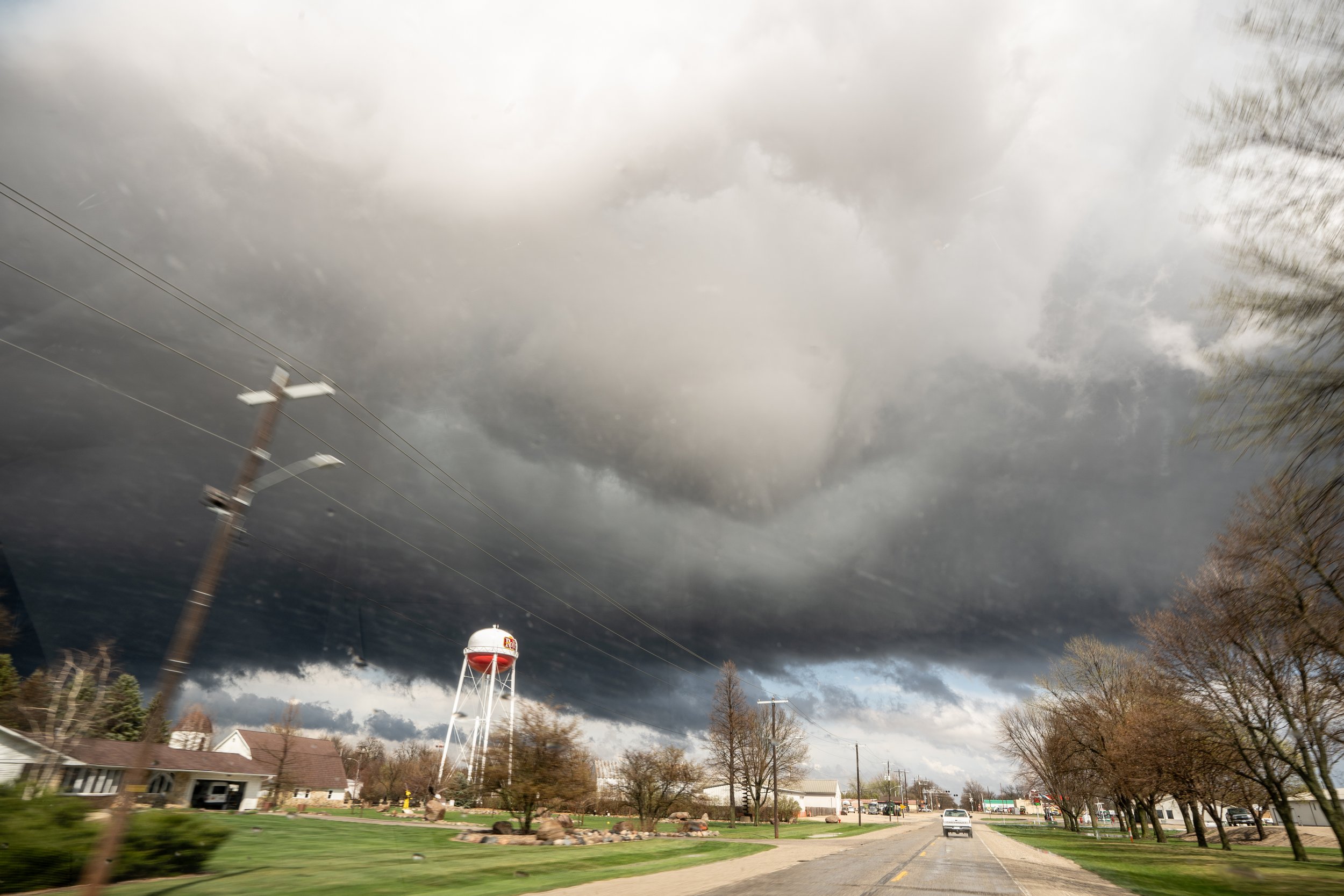
Tornado getting closer and coming right towards us.

Tornado really getting close here. Time to bail and get out of the way!

Gage enjoying the view as the storm continues to rotate but lost a lot of punch after producing the tornado. Going to take time to recycle.

Beautiful storm structure near Truman, Minnesota. Last look at the storm for the day before we decided to call it off and head home.